File:Oullins - Station de métro Oullins Centre - Métro 736 au départ.jpg
Jump to navigation
Jump to search

Size of this preview: 800 × 600 pixels. Other resolutions: 320 × 240 pixels | 640 × 480 pixels | 1,024 × 768 pixels | 1,280 × 960 pixels | 2,560 × 1,920 pixels | 4,032 × 3,024 pixels.
Original file (4,032 × 3,024 pixels, file size: 3.03 MB, MIME type: image/jpeg)
Captions
Captions
Add a one-line explanation of what this file represents
Summary
[edit]| Description |
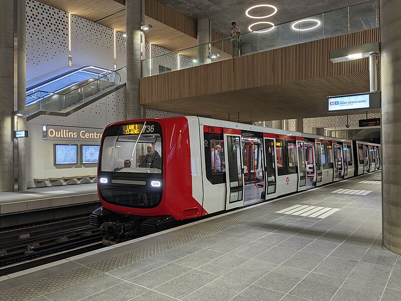
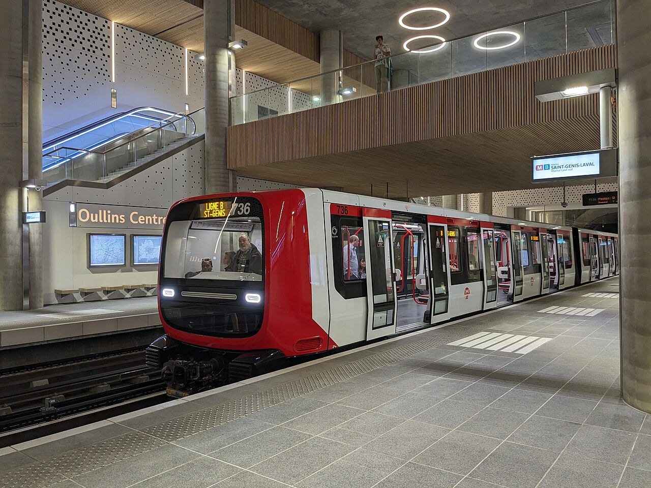
Français : Métro 736 au départ.
|
||
| Date | |||
| Source | Own work | ||
| Author | Romainbehar |

| Camera location | | View this and other nearby images on: OpenStreetMap |
|---|
Licensing
[edit]
I, the copyright holder of this work, hereby publish it under the following license:
| This file is made available under the Creative Commons CC0 1.0 Universal Public Domain Dedication. | |
| The person who associated a work with this deed has dedicated the work to the public domain by waiving all of their rights to the work worldwide under copyright law, including all related and neighboring rights, to the extent allowed by law. You can copy, modify, distribute and perform the work, even for commercial purposes, all without asking permission.
|
File history
Click on a date/time to view the file as it appeared at that time.
| Date/Time | Thumbnail | Dimensions | User | Comment | |
|---|---|---|---|---|---|
| current | 15:35, 21 October 2023 | | 4,032 × 3,024 (3.03 MB) | Romainbehar (talk | contribs) | PyCommonist upload: Oullins - Station de métro Oullins Centre - Métro 736 au départ.jpg |
You cannot overwrite this file.
File usage on Commons
The following page uses this file:
File usage on other wikis
The following other wikis use this file:
- Usage on fr.wikipedia.org
- Liste des stations du métro de Lyon
- Métro de Lyon
- Tramway du Mont-Blanc
- Aéroport de Lyon-Saint-Exupéry
- Autobus de Lyon
- Transports en commun lyonnais
- Gare de Lyon-Perrache
- Gare de Lyon-Part-Dieu
- Aéroport de Grenoble-Alpes-Isère
- Tramway de Lyon
- Aéroport de Clermont-Ferrand-Auvergne
- Ligne du Tonkin
- Aéroport de Lyon-Bron
- Gare de Valence TGV
- Téléphérique de l'Aiguille du Midi
- Autoroute A41 (France)
- Ligne D du métro de Lyon
- Tramway de Grenoble
- Aéroport de Valence-Chabeuil
- Aéroport de Saint-Étienne-Loire
- TER Rhône-Alpes
- Autoroute A480 (France)
- Transports en commun d'Annecy
- TER Auvergne
- Transports en commun de l'agglomération clermontoise
- Gare de Saint-Étienne-Châteaucreux
- Tramway de Saint-Étienne
- Gare de Grenoble
- Transports de l'agglomération grenobloise
- Rocade sud (Grenoble)
- Réseau interurbain de l'Isère
- Gare de Chambéry - Challes-les-Eaux
- Gare de Clermont-Ferrand
- Société de transports de l'agglomération stéphanoise
- Tramway de Clermont-Ferrand
- Gare de Valence-Ville
- Gare de Saint-Étienne-Carnot
- Gare de Saint-Étienne-Le Clapier
- Gare de Saint-Étienne-La Terrasse
- Gare de Saint-Étienne-Bellevue
- Funiculaire de Lyon
- Ligne A du tramway de Grenoble
- Ligne B du tramway de Grenoble
- Ligne C du tramway de Grenoble
- Ligne D du tramway de Grenoble
- Transports en commun de Vichy
- Autobus de Saint-Étienne
- Pays voironnais Mobilité
- Réseau express régional lyonnais
- Ligne C3 du trolleybus de Lyon
View more global usage of this file.