File:Osaka stad Map.png
Jump to navigation
Jump to search
No higher resolution available.
Osaka_stad_Map.png (653 × 600 pixels, file size: 72 KB, MIME type: image/png)
Captions
Captions
Add a one-line explanation of what this file represents
Summary
[edit]
| Description |
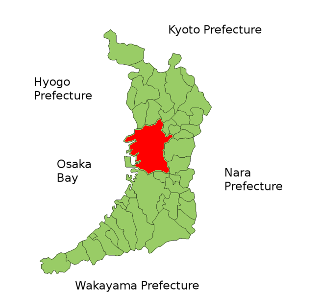
English: Location of Osaka (city) within Osaka Prefecture, Japan
Nederlands: Kaart van Osaka (stad) in de prefectuur Osaka, Japan |
| Date |
3 January 2007 (original upload date) |
| Source |
Transferred from nl.wikipedia to Commons. |
| Author |
Krisgrotius at Dutch Wikipedia |
| Permission (Reusing this file) |
publiek |
Licensing
[edit]
| This work has been released into the public domain by its author, Krisgrotius at Dutch Wikipedia. This applies worldwide. In some countries this may not be legally possible; if so: Krisgrotius grants anyone the right to use this work for any purpose, without any conditions, unless such conditions are required by law. |
Original upload log
[edit]
The original description page was here. All following user names refer to nl.wikipedia.
- 2007-01-03 14:20 Krisgrotius 653×600×8 (73653 bytes) {{Information| |Description= Kaart van Osaka (stad) in de prefectuur Osaka, Japan |Source= eigen werk |Date=~~~~~ |Author= ~~~ |Permission= publiek |other_versions= }}
File history
Click on a date/time to view the file as it appeared at that time.
| Date/Time | Thumbnail | Dimensions | User | Comment | |
|---|---|---|---|---|---|
| current | 22:37, 11 April 2007 | | 653 × 600 (72 KB) | SieBot (talk | contribs) | {{Information |Description=Kaart van Osaka (stad) in de prefectuur Osaka, Japan |Source=Originally from [http://nl.wikipedia.org nl.wikipedia]; description page is/was [http://nl.wikipedia.org/w/index.php?title=Image%3AOsaka_stad_Map.png here].<br/> (Ori |
You cannot overwrite this file.
File usage on Commons
There are no pages that use this file.