File:OrissaAngul.png
Jump to navigation
Jump to search

Size of this preview: 668 × 599 pixels. Other resolutions: 268 × 240 pixels | 535 × 480 pixels | 856 × 768 pixels | 1,142 × 1,024 pixels | 1,823 × 1,635 pixels.
Original file (1,823 × 1,635 pixels, file size: 450 KB, MIME type: image/png)
Captions
Captions
Add a one-line explanation of what this file represents
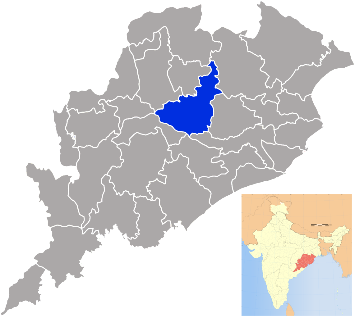
| Description | Angul district in Orissa |
| Date | (UTC) |
| Source | |
| Author |
|
| This is a retouched picture, which means that it has been digitally altered from its original version. The original can be viewed here: Orissa locator map.svg:
|
I, the copyright holder of this work, hereby publish it under the following license:
This file is licensed under the Creative Commons Attribution-Share Alike 3.0 Unported license.
- You are free:
- to share – to copy, distribute and transmit the work
- to remix – to adapt the work
- Under the following conditions:
- attribution – You must give appropriate credit, provide a link to the license, and indicate if changes were made. You may do so in any reasonable manner, but not in any way that suggests the licensor endorses you or your use.
- share alike – If you remix, transform, or build upon the material, you must distribute your contributions under the same or compatible license as the original.
Original upload log
[edit]
This image is a derivative work of the following images:
- File:Orissa_locator_map.svg licensed with Cc-by-sa-3.0
- 2008-09-06T17:28:24Z PlaneMad 2269x2241 (216154 Bytes)
- 2008-02-21T13:28:20Z Mkeranat 647x564 (134867 Bytes) {{Information |Description=Locator map for the state of [w:Orissa] updated to show white borders for districts |Source=self-made, based on India locator map by [w:User:Planemad] |Date=Feb 2008 |Author= Mkeranat |Permission= |
- 2008-02-14T21:32:38Z Mkeranat 647x564 (133465 Bytes) {{Information |Description=Locator map for the state of [w:Orissa] |Source=self-made, based on India locator map by [w:User:Planemad] |Date=Feb 2008 |Author= [[w:User:Mkeranat|Mkeranat]] |Permission= |other_versions= }}
Uploaded with derivativeFX
File history
Click on a date/time to view the file as it appeared at that time.
| Date/Time | Thumbnail | Dimensions | User | Comment | |
|---|---|---|---|---|---|
| current | 21:16, 24 September 2009 | | 1,823 × 1,635 (450 KB) | Abhijitsathe (talk | contribs) | {{Information |Description=Angul district in Orissa |Source=*File:Orissa_locator_map.svg |Date=2009-09-24 21:15 (UTC) |Author=*File:Orissa_locator_map.svg: '''PlaneMad''' *derivative work: ~~~ |Permission=see below |other_ver |
You cannot overwrite this file.
File usage on Commons
The following 12 pages use this file: