File:Orenburg water tower cropped.JPG
From Wikimedia Commons, the free media repository
Jump to navigation
Jump to search
Size of this preview: 480 × 600 pixels. Other resolutions: 192 × 240 pixels | 384 × 480 pixels | 614 × 768 pixels | 819 × 1,024 pixels | 1,600 × 2,000 pixels.
Original file (1,600 × 2,000 pixels, file size: 1.12 MB, MIME type: image/jpeg)
File information
Structured data
Captions
DescriptionOrenburg water tower cropped.JPG |
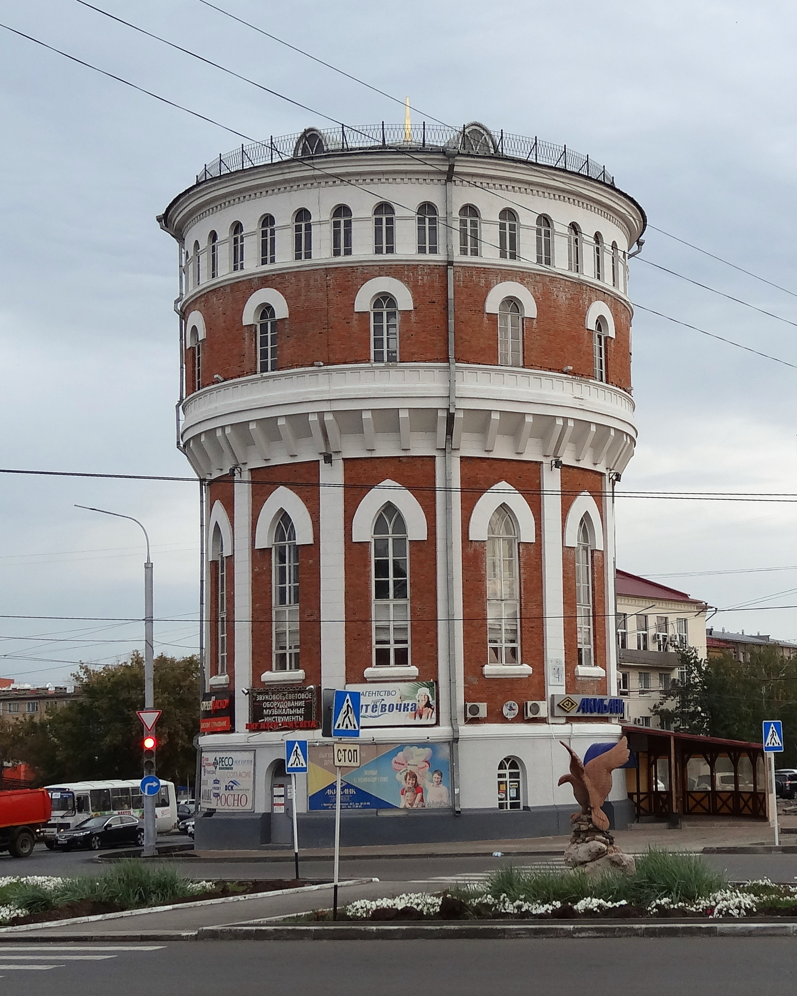
Русский: Башня водонапорная (Оренбургская область, Оренбург, Победы пр., 14а)
|
||||
Date | 19 September 2013, 09:02 (according to Exif data) | ||||
Source | File:Водонапорная башня (Оренбург).JPG by user:Ovasiliev | ||||
Author | user:Ovasiliev (crop/tilt user:kaluga.2012) | ||||
Permission (Reusing this file) |
This file is licensed under the Creative Commons Attribution-Share Alike 3.0 Unported license.
|
Object location | 51° 46′ 30.18″ N, 55° 06′ 27.11″ E | View this and other nearby images on: OpenStreetMap | 51.775050; 55.107530 |
---|
Camera location | 51° 46′ 27.88″ N, 55° 06′ 27″ E | View this and other nearby images on: OpenStreetMap | 51.774410; 55.107500 |
---|
File history
Click on a date/time to view the file as it appeared at that time.
Date/Time | Thumbnail | Dimensions | User | Comment | |
---|---|---|---|---|---|
current | 21:11, 11 November 2013 | 1,600 × 2,000 (1.12 MB) | Kaluga.2012 (talk | contribs) | {{Information |Description={{ru|1=Башня водонапорная (Оренбургская область, Оренбург, Победы пр., 14а)}}{{Cultural Heritage Russia|5600000067}} |Source=[[File:Водонапорная башня (О... |
You cannot overwrite this file.
File usage on Commons
There are no pages that use this file.
Metadata
This file contains additional information such as Exif metadata which may have been added by the digital camera, scanner, or software program used to create or digitize it. If the file has been modified from its original state, some details such as the timestamp may not fully reflect those of the original file. The timestamp is only as accurate as the clock in the camera, and it may be completely wrong.
Camera manufacturer | SONY |
---|---|
Camera model | DSC-HX20 |
Exposure time | 1/160 sec (0.00625) |
F-number | f/3.5 |
ISO speed rating | 100 |
Date and time of data generation | 09:02, 19 September 2013 |
Lens focal length | 5.76 mm |
Orientation | Normal |
Horizontal resolution | 72 dpi |
Vertical resolution | 72 dpi |
Software used | GIMP 2.6.11 |
File change date and time | 05:50, 22 September 2013 |
Y and C positioning | Co-sited |
Exposure Program | Landscape mode (for landscape photos with the background in focus) |
Exif version | 2.3 |
Date and time of digitizing | 09:02, 19 September 2013 |
Meaning of each component |
|
Image compression mode | 2 |
APEX brightness | 7.0796875 |
APEX exposure bias | 0 |
Maximum land aperture | 3.6171875 APEX (f/3.5) |
Metering mode | Pattern |
Light source | Unknown |
Flash | Flash did not fire, compulsory flash suppression |
Supported Flashpix version | 1 |
Color space | sRGB |
File source | Digital still camera |
Scene type | A directly photographed image |
Custom image processing | Normal process |
Exposure mode | Auto exposure |
White balance | Auto white balance |
Digital zoom ratio | 1 |
Scene capture type | Landscape |
Contrast | Normal |
Saturation | Normal |
Sharpness | Normal |
Structured data
Items portrayed in this file
depicts
19 September 2013
image/jpeg
93c824bebda80efe9301fb6cbf8dc518189700b2
1,173,967 byte
2,000 pixel
1,600 pixel
51°46'27.876"N, 55°6'27.000"E
51°46'30.180"N, 55°6'27.108"E
Hidden categories: