File:Orchard, Westbrook - geograph.org.uk - 88809.jpg
Jump to navigation
Jump to search
No higher resolution available.
Orchard,_Westbrook_-_geograph.org.uk_-_88809.jpg (640 × 480 pixels, file size: 92 KB, MIME type: image/jpeg)
Captions
Captions
Add a one-line explanation of what this file represents
Summary
[edit]
| Description |
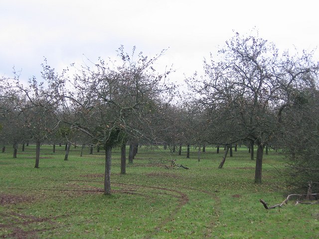
English: Orchard, Westbrook. Apple orchard on a terrace above the Teme. The Teme is a rejuvenated river, having had its headwaters rearranged during the ice age. It was diverted to the Severn at Worcester, having previously travelled to the Wye at Hereford. The river here is much larger now and as a powerful upland river has cut deeply into the flood plain of its small lowland predecessor.
At around the Ashfords, the fruit growing begins, and the river runs the rest of its course to Powick past orchards and hopyards. This is the westernmost part of Worcestershire, not far from the border with Wales. |
| Date | |
| Source | From geograph.org.uk |
| Author | Richard Webb |
| Attribution (required by the license) | Richard Webb / Orchard, Westbrook / |
| Object location | | View this and other nearby images on: OpenStreetMap |
|---|
_&language=en)
Licensing
[edit]

|
This image was taken from the Geograph project collection. See this photograph's page on the Geograph website for the photographer's contact details. The copyright on this image is owned by Richard Webb and is licensed for reuse under the Creative Commons Attribution-ShareAlike 2.0 license.
|
This file is licensed under the Creative Commons Attribution-Share Alike 2.0 Generic license.
Attribution: Richard Webb
- You are free:
- to share – to copy, distribute and transmit the work
- to remix – to adapt the work
- Under the following conditions:
- attribution – You must give appropriate credit, provide a link to the license, and indicate if changes were made. You may do so in any reasonable manner, but not in any way that suggests the licensor endorses you or your use.
- share alike – If you remix, transform, or build upon the material, you must distribute your contributions under the same or compatible license as the original.
File history
Click on a date/time to view the file as it appeared at that time.
| Date/Time | Thumbnail | Dimensions | User | Comment | |
|---|---|---|---|---|---|
| current | 22:53, 30 January 2010 | | 640 × 480 (92 KB) | GeographBot (talk | contribs) | == {{int:filedesc}} == {{Information |description={{en|1=Orchard, Westbrook. Apple orchard on a terrace above the Teme. The Teme is a rejuvenated river, having had its headwaters rearranged during the ice age. It was diverted to the Severn at Worcester, |
You cannot overwrite this file.
File usage on Commons
There are no pages that use this file.