File:Orange1601.svg
Jump to navigation
Jump to search

Size of this PNG preview of this SVG file: 800 × 600 pixels. Other resolutions: 320 × 240 pixels | 640 × 480 pixels | 1,024 × 768 pixels | 1,280 × 960 pixels | 2,560 × 1,920 pixels.
Original file (SVG file, nominally 800 × 600 pixels, file size: 259 KB)
Captions
Captions
Add a one-line explanation of what this file represents
| Description |
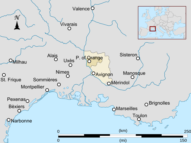
Español: Mapa del principado de Orange. |
| Date | (UTC) |
| Source | |
| Author |
|
| Other versions | Derivative works of this file: Orange1601-es.svg |
| This is a retouched picture, which means that it has been digitally altered from its original version. The original can be viewed here: Alps-Mediterranean Euroregion map-fr.svg:
|
I, the copyright holder of this work, hereby publish it under the following license:
This file is licensed under the Creative Commons Attribution-Share Alike 3.0 Unported license.
- You are free:
- to share – to copy, distribute and transmit the work
- to remix – to adapt the work
- Under the following conditions:
- attribution – You must give appropriate credit, provide a link to the license, and indicate if changes were made. You may do so in any reasonable manner, but not in any way that suggests the licensor endorses you or your use.
- share alike – If you remix, transform, or build upon the material, you must distribute your contributions under the same or compatible license as the original.
Original upload log
[edit]
This image is a derivative work of the following images:
- File:Alps-Mediterranean_Euroregion_map-fr.svg licensed with Cc-by-sa-3.0
- 2009-01-05T20:29:18Z Sémhur 1465x1126 (352007 Bytes) Moving some text
- 2009-01-05T18:12:34Z Sémhur 1465x1126 (351683 Bytes) Brightness correctionBrightness correctionBrightness correctionBrightness correctionBrightness correctionBrightness correctionBrightness correctionBrightness correctionBrightness correctionBrightness correctionMoving some text
Uploaded with derivativeFX
File history
Click on a date/time to view the file as it appeared at that time.
| Date/Time | Thumbnail | Dimensions | User | Comment | |
|---|---|---|---|---|---|
| current | 20:04, 25 May 2009 | | 800 × 600 (259 KB) | Addicted04 (talk | contribs) | trazo |
| 20:00, 25 May 2009 |  | 800 × 600 (119 KB) | Addicted04 (talk | contribs) | {{Information |Description={{es|Mapa del principado de Orange.}} |Source=*File:Alps-Mediterranean_Euroregion_map-fr.svg |Date=2009-05-25 20:59 (UTC) |Author=*File:Alps-Mediterranean_Euroregion_map-fr.svg: *derivative work: [[User:Sémhur|Sémh |
You cannot overwrite this file.
File usage on Commons
The following page uses this file:
File usage on other wikis
The following other wikis use this file:
- Usage on es.wikipedia.org