File:Oran Province narrow border.svg
Jump to navigation
Jump to search

Size of this PNG preview of this SVG file: 800 × 535 pixels. Other resolutions: 320 × 214 pixels | 640 × 428 pixels | 1,024 × 685 pixels | 1,280 × 856 pixels | 2,560 × 1,711 pixels | 1,255 × 839 pixels.
Original file (SVG file, nominally 1,255 × 839 pixels, file size: 79 KB)
Captions
Captions
Add a one-line explanation of what this file represents
Summary
[edit]
How to change this map. In Inkscape the window looks like this:To change a color of any municipality on this map, change fill color in window 1 . To change the borders go to the main menu, Edit>>Select All. Then Object>>Fill and Stroke. Then in window 2, x turns the borders off. The square turns the borders on. In window 2 the color of border can be changed like the fill color. In window 3 the width of the borders can be changed.

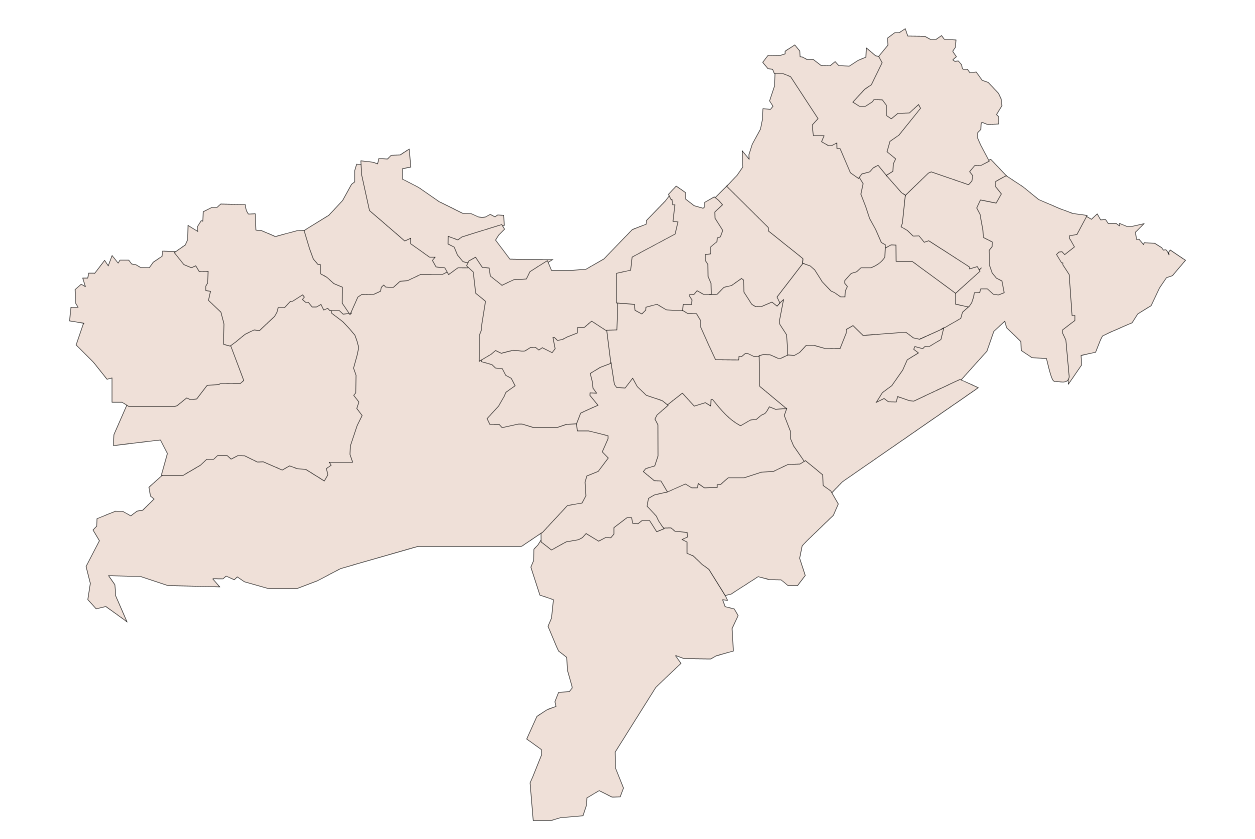
| Description | Oran Province, Algeria |
| Date | |
| Source | Own work |
| Author | Sagredo |
| Other versions |
Derivative works of this file: |
Licensing
[edit]
| I, the copyright holder of this work, release this work into the public domain. This applies worldwide. In some countries this may not be legally possible; if so: I grant anyone the right to use this work for any purpose, without any conditions, unless such conditions are required by law. |
File history
Click on a date/time to view the file as it appeared at that time.
| Date/Time | Thumbnail | Dimensions | User | Comment | |
|---|---|---|---|---|---|
| current | 04:22, 11 January 2008 | | 1,255 × 839 (79 KB) | Sagredo (talk | contribs) | How to change this map. In Inkscape the window looks like this:To change a color of any municipality on this map, change fill color in window 1 . To change the borders go to the main menu, Edit>>Select All. Then Object>>Fill and Stroke. Then in window |
| 04:00, 11 January 2008 |  | 1,255 × 839 (80 KB) | Sagredo (talk | contribs) | How to change this map. In Inkscape the window looks like this:To change a color of any municipality on this map, change fill color in window 1 . To change the borders go to the main menu, Edit>>Select All. Then Object>>Fill and Stroke. Then in window |
You cannot overwrite this file.
File usage on Commons
The following page uses this file:
File usage on other wikis
The following other wikis use this file:
- Usage on en.wikipedia.org
- Usage on www.wikidata.org