File:Oppidum of Manching path on the fortification wall.jpg
Jump to navigation
Jump to search

Size of this preview: 800 × 600 pixels. Other resolutions: 320 × 240 pixels | 640 × 480 pixels | 1,024 × 768 pixels | 1,280 × 960 pixels | 2,560 × 1,920 pixels | 4,896 × 3,672 pixels.
Original file (4,896 × 3,672 pixels, file size: 4.92 MB, MIME type: image/jpeg)
Captions
Captions
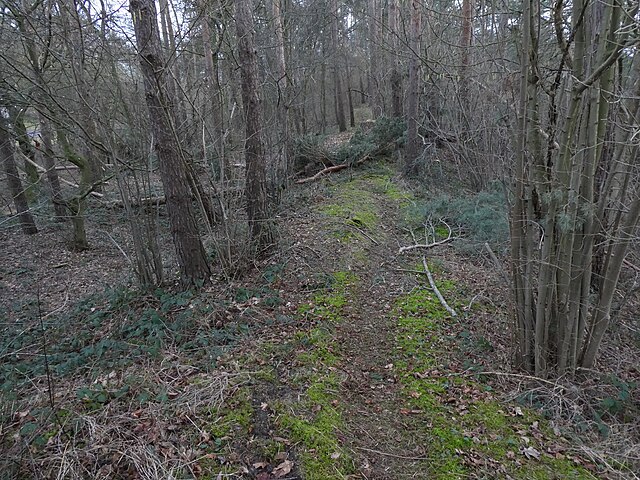
Hiking path on top of the Oppidum of Manching fortification wall remnants
Summary
[edit]
| Description |
English: Hiking path on top of the Oppidum of Manching fortification wall remnants, Bavaria, Germany
Deutsch: Wanderpfad auf den Überresten der Befestigungsmauer des Oppidums von Manching, Bayern, Deutschland |
| Date | |
| Source | Own work |
| Author | Cyfal |
| Camera location | | View this and other nearby images on: OpenStreetMap |
|---|
Licensing
[edit]
I, the copyright holder of this work, hereby publish it under the following license:
This file is licensed under the Creative Commons Attribution-Share Alike 4.0 International license.
- You are free:
- to share – to copy, distribute and transmit the work
- to remix – to adapt the work
- Under the following conditions:
- attribution – You must give appropriate credit, provide a link to the license, and indicate if changes were made. You may do so in any reasonable manner, but not in any way that suggests the licensor endorses you or your use.
- share alike – If you remix, transform, or build upon the material, you must distribute your contributions under the same or compatible license as the original.
File history
Click on a date/time to view the file as it appeared at that time.
| Date/Time | Thumbnail | Dimensions | User | Comment | |
|---|---|---|---|---|---|
| current | 21:10, 11 February 2024 | | 4,896 × 3,672 (4.92 MB) | Cyfal (talk | contribs) | Uploaded own work with UploadWizard |
You cannot overwrite this file.
File usage on Commons
There are no pages that use this file.