File:OpenTopomap Meiningen.jpg
Jump to navigation
Jump to search

Size of this preview: 800 × 511 pixels. Other resolutions: 320 × 205 pixels | 640 × 409 pixels | 1,200 × 767 pixels.
Original file (1,200 × 767 pixels, file size: 381 KB, MIME type: image/jpeg)
Captions
Captions
Add a one-line explanation of what this file represents
Summary
[edit]
| Description |
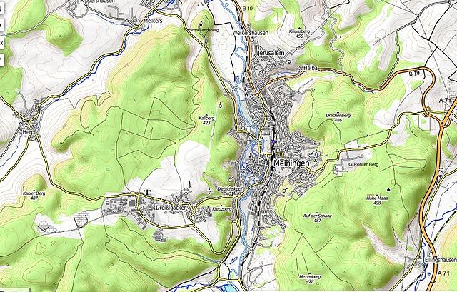
This map was created from OpenStreetMap project data, collected by the community. This map may be incomplete, and may contain errors. Don't rely solely on it for navigation. |
|||
| Date | (see file history) | |||
| Source | openstreetmap.org | |||
| Creator |
OpenStreetMap contributors |
|||
| Permission (Reusing this file) |
OpenStreetMap data is available under the Open Database License (details). Map tiles are licensed under the Creative Commons Attribution-ShareAlike 2.0 license (CC-BY-SA 2.0).
This file is licensed under the Creative Commons Attribution-Share Alike 2.0 Generic license.
|
|||
| Georeferencing | If inappropriate please set warp_status = skip to hide. |
File history
Click on a date/time to view the file as it appeared at that time.
| Date/Time | Thumbnail | Dimensions | User | Comment | |
|---|---|---|---|---|---|
| current | 16:34, 6 June 2015 | | 1,200 × 767 (381 KB) | Kramer96 (talk | contribs) | == {{int:filedesc}} == {{OpenStreetMap |Description={{de|1=Topographical map of Meiningen.}} |Source=Screenshoot, Opentopomap <nowiki>(http://opentopomap.org/map#50.56885|10.40783|13)</nowiki> |Date=6. Juni 2015 |Author=Maps © OpenStreetMap / OpenTop... |
You cannot overwrite this file.
File usage on Commons
The following page uses this file:
File usage on other wikis
The following other wikis use this file: