File:OpenStreetMap render Banstead.png
Jump to navigation
Jump to search

Size of this preview: 600 × 600 pixels. Other resolutions: 240 × 240 pixels | 480 × 480 pixels | 768 × 768 pixels | 1,200 × 1,200 pixels.
Original file (1,200 × 1,200 pixels, file size: 404 KB, MIME type: image/png)
Captions
Captions
Add a one-line explanation of what this file represents
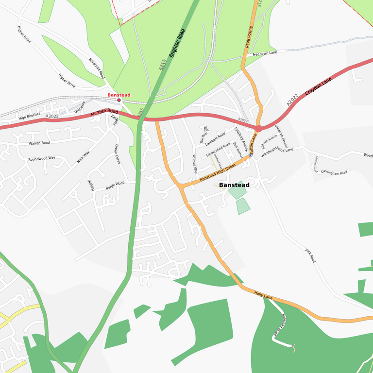
| Description | Map of Banstead. This map may be incomplete, and may contain errors. Don't rely solely on it for navigation. |
| Date | See file history |
| Source | OpenStreetMap data |
| Author | OpenStreetMap contributors |
| Permission (Reusing this file) |
All OpenStreetMap data and maps are Creative Commons "CC-BY-SA 2.0" licensed. This file is licensed under the Creative Commons Attribution-Share Alike 2.0 Generic license.
|
File history
Click on a date/time to view the file as it appeared at that time.
| Date/Time | Thumbnail | Dimensions | User | Comment | |
|---|---|---|---|---|---|
| current | 21:37, 11 February 2008 | | 1,200 × 1,200 (404 KB) | OJW OpenStreetMap renderBot (talk | contribs) | {{openstreetmap_render|name=Banstead|lat=51.322000|lon=-0.204000}} |
| 21:33, 11 February 2008 |  | 1,200 × 1,200 (404 KB) | OJW OpenStreetMap renderBot (talk | contribs) | {{openstreetmap_render|name=Banstead|lat=51.322000|lon=-0.204000}} |
You cannot overwrite this file.
File usage on Commons
There are no pages that use this file.
File usage on other wikis
The following other wikis use this file:
- Usage on en.wikipedia.org