File:OpenStreetMap of Caracas.jpg
Jump to navigation
Jump to search
Size of this preview: 800 × 427 pixels. Other resolutions: 320 × 171 pixels | 640 × 342 pixels | 1,234 × 659 pixels.
Original file (1,234 × 659 pixels, file size: 992 KB, MIME type: image/jpeg)
Captions
Captions
Add a one-line explanation of what this file represents
Summary
[edit]
| Description |
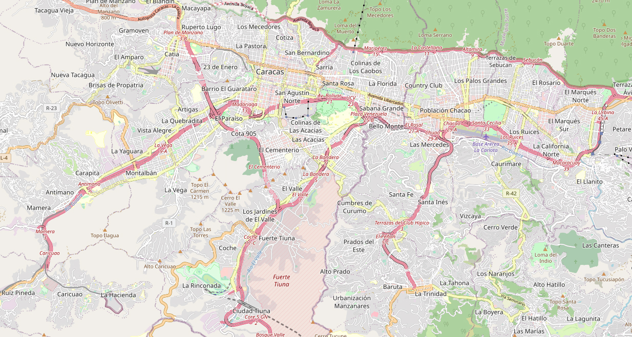
Português: Mapa de Caracas obtido no OpenStreetMap, a ser utilizado em artigos de estações do Metrô de Caracas. |
| Date | |
| Source | http://www.openstreetmap.org |
| Author | OpenStreetMap |
Coordenadas de borda
[edit]
| 10.5299 | ||
| -67.0053 | -66.7932 | |
| 10.4186 |
Licensing
[edit]
| Description |
This map was created from OpenStreetMap project data, collected by the community. This map may be incomplete, and may contain errors. Don't rely solely on it for navigation. |
|||
| Date | (see file history) | |||
| Source | openstreetmap.org | |||
| Creator |
OpenStreetMap contributors |
|||
| Permission (Reusing this file) |
OpenStreetMap data is available under the Open Database License (details). Map tiles are licensed under the Creative Commons Attribution-ShareAlike 2.0 license (CC-BY-SA 2.0).
This file is licensed under the Creative Commons Attribution-Share Alike 2.0 Generic license.
|
|||
| Georeferencing | If inappropriate please set warp_status = skip to hide. |
File history
Click on a date/time to view the file as it appeared at that time.
| Date/Time | Thumbnail | Dimensions | User | Comment | |
|---|---|---|---|---|---|
| current | 01:08, 4 November 2022 | | 1,234 × 659 (992 KB) | Wguayana (talk | contribs) | 2022 uptaded |
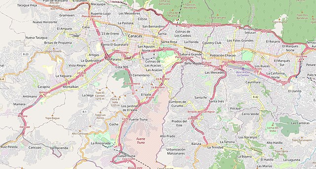
| 16:37, 24 March 2018 |  | 2,471 × 1,318 (1.29 MB) | Porto Mineiro (talk | contribs) | User created page with UploadWizard |
You cannot overwrite this file.
File usage on Commons
There are no pages that use this file.
File usage on other wikis
The following other wikis use this file:
- Usage on pt.wikipedia.org
- Predefinição:Mapa de localização/Caracas
- Estação Colegio de Ingenieros
- Estação La Hoyada
- Estação Parque Carabobo
- Estação Bellas Artes (Metrô de Caracas)
- Estação Gato Negro
- Estação Agua Salud
- Estação Caño Amarillo
- Estação Sabana Grande
- Estação Chacaíto
- Estação Chacao
- Estação Altamira
- Estação Miranda
- Estação Propatria
- Estação Pérez Bonalde
- Estação Plaza Sucre
- Estação Los Cortijos
- Estação Los Dos Caminos
- Estação Petare
- Estação Palo Verde
- Estação La California
- Estação Ciudad Universitaria (Metrô de Caracas)
- Estação Los Símbolos
- Estação La Bandera
- Estação El Valle
- Estação Los Jardines (Metrô de Caracas)
- Estação Coche
- Estação Mercado (Metrô de Caracas)
- Estação La Rinconada
- Estação Maternidad
- Estação Artigas
- Estação La Paz (Metrô de Caracas)
- Estação La Yaguara
- Estação Carapita
- Estação Antímano
- Estação Mamera
- Estação Ruiz Pineda
- Estação Caricuao
- Estação Zoológico
- Estação Capitolio
- Estação Teatros
- Estação Nuevo Circo
- Estação Parque Central
- Estação Capuchinos
- Estação Bello Monte
- Estação Zona Rental
- Estação El Silencio
- Estação Plaza Venezuela