File:Ontken.png
Jump to navigation
Jump to search
No higher resolution available.
Ontken.png (378 × 379 pixels, file size: 9 KB, MIME type: image/png)
Captions
Captions
Add a one-line explanation of what this file represents
Summary
[edit]
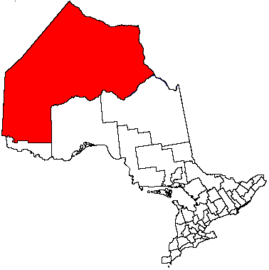
| Description | Kenora District, Ontario |
| Date | 17 June 2004 (original upload date) |
| Source | Transferred from en.wikipedia to Commons. |
| Author | The original uploader was Timc at English Wikipedia. |
Licensing
[edit]

|
Permission is granted to copy, distribute and/or modify this document under the terms of the GNU Free Documentation License, Version 1.2 or any later version published by the Free Software Foundation; with no Invariant Sections, no Front-Cover Texts, and no Back-Cover Texts. A copy of the license is included in the section entitled GNU Free Documentation License. |
| This file is licensed under the Creative Commons Attribution-Share Alike 3.0 Unported license. | ||
| ||
| This licensing tag was added to this file as part of the GFDL licensing update. |
Original upload log
[edit]
The original description page was here. All following user names refer to en.wikipedia.
File history
Click on a date/time to view the file as it appeared at that time.
| Date/Time | Thumbnail | Dimensions | User | Comment | |
|---|---|---|---|---|---|
| current | 18:36, 26 November 2006 | | 378 × 379 (9 KB) | Hopperseven (talk | contribs) | {{Information |Description=Kenora District, Ontario |Source=Originally from [http://en.wikipedia.org en.wikipedia]; description page is/was [http://en.wikipedia.org/w/index.php?title=Image%3AOntken.PNG here]. |Date=2004-06-17 (first version); 2004-06-17 ( |
You cannot overwrite this file.
File usage on Commons
There are no pages that use this file.
File usage on other wikis
The following other wikis use this file:
- Usage on en.wikipedia.org
- Dryden, Ontario
- Kenora
- Fort Severn First Nation
- Kenora District
- Sioux Lookout
- Pickle Lake
- Fort Albany First Nation
- Neskantaga First Nation
- Unorganized Kenora District
- English River, Ontario
- Attawapiskat First Nation
- Ignace
- Asubpeeschoseewagong First Nation
- Minaki
- Kashechewan First Nation
- Red Lake, Ontario
- Peawanuck
- Eabametoong First Nation
- Mishkeegogamang First Nation
- Pikangikum First Nation
- Wapekeka First Nation
- Cat Lake First Nation
- Kitchenuhmaykoosib Inninuwug First Nation
- Webequie First Nation
- Poplar Hill First Nation
- Nibinamik First Nation
- Deer Lake First Nation
- Wawakapewin First Nation
- Winisk 90
- Bearskin Lake First Nation
- Sandy Lake First Nation
- Wunnumin Lake First Nation
- Ear Falls
- Marten Falls First Nation
- Kingfisher First Nation
- Kasabonika Lake First Nation
- North Spirit Lake First Nation
- McDowell Lake First Nation
- Keewaywin First Nation
- Machin, Ontario
- Sioux Narrows-Nestor Falls
- Vermilion Bay, Ontario
- Attawapiskat 91A
- Wunnumin 1
- Weenusk First Nation
- Osnaburgh 63B
- Lac Seul First Nation
- Naotkamegwanning First Nation
- Northwest Angle 33 First Nation
- Buffalo Point First Nation
View more global usage of this file.