File:Ontario 417.svg
Jump to navigation
Jump to search

Size of this PNG preview of this SVG file: 377 × 599 pixels. Other resolutions: 151 × 240 pixels | 302 × 480 pixels | 483 × 768 pixels | 644 × 1,024 pixels | 1,288 × 2,048 pixels | 458 × 728 pixels.
Original file (SVG file, nominally 458 × 728 pixels, file size: 95 KB)
Captions
Captions
Add a one-line explanation of what this file represents
| This Canadian work is in the public domain worldwide because it was subject to Crown copyright and was first published before December 31, 1973.
According to Public Works and Government Services Canada / Travaux publics et Services gouvernementaux Canada, Canada has no intention of renewing expired Crown Copyright works in any country, and consequently the URAA does not apply. An email is on record at ticket:2013122310013986. |
 | |
|
| ||
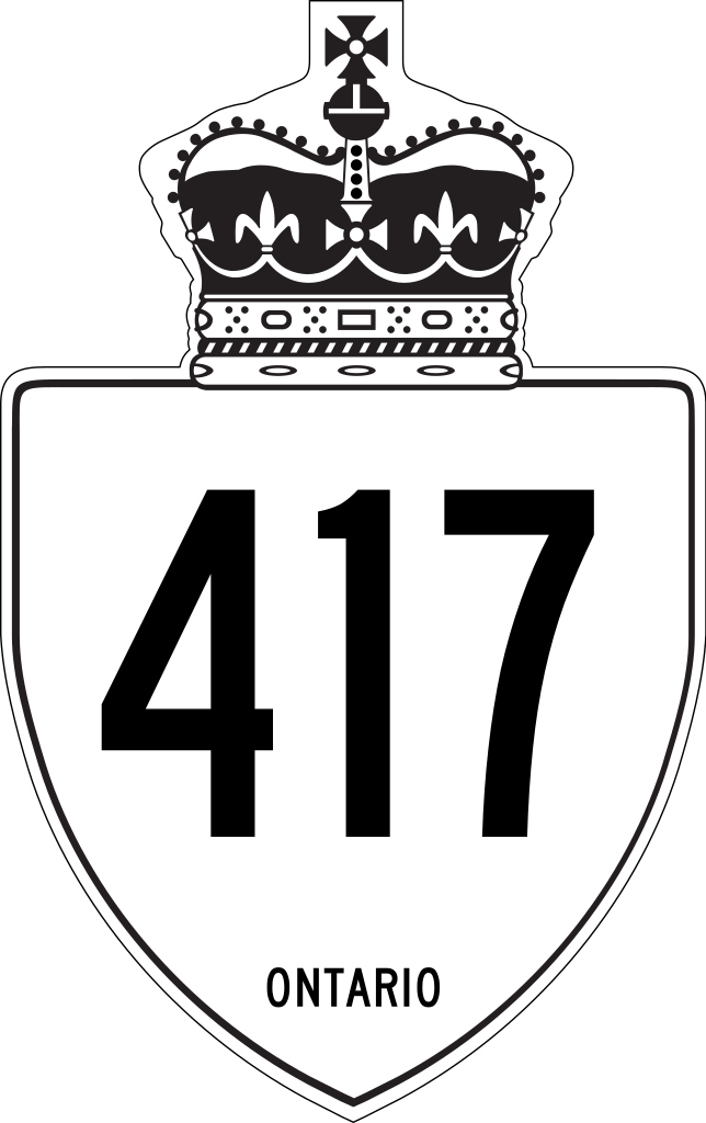
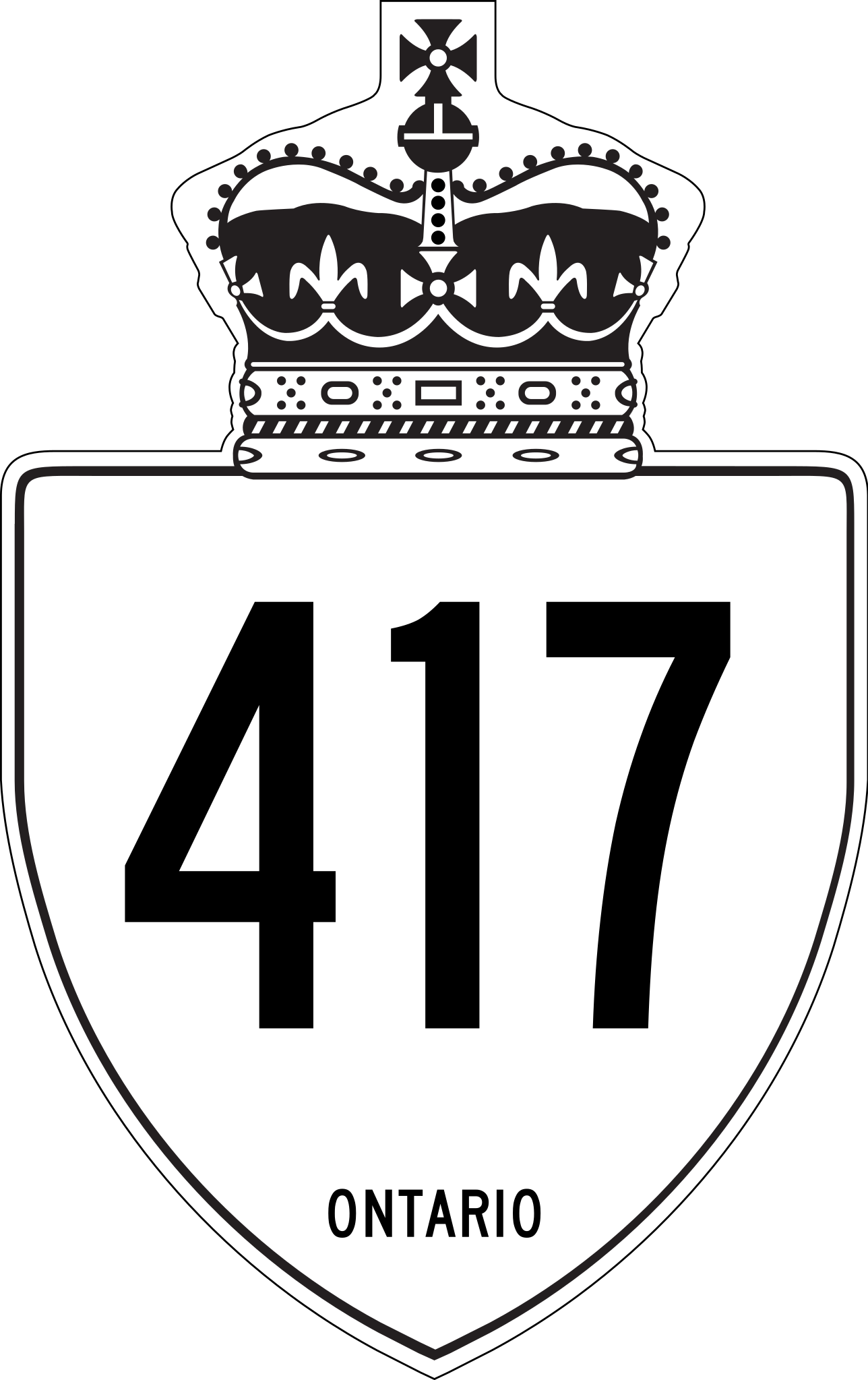
This is a rough approximation of the marker used on King's Highways in Ontario, modified from Image:Ontario Junction template.svg.
File history
Click on a date/time to view the file as it appeared at that time.
| Date/Time | Thumbnail | Dimensions | User | Comment | |
|---|---|---|---|---|---|
| current | 05:42, 27 April 2019 | | 458 × 728 (95 KB) | Fredddie (talk | contribs) | redrawn |
| 20:20, 1 February 2010 |  | 210 × 340 (103 KB) | Floydian (talk | contribs) | update to newer version, old version moved to File:Ontario 417 jct.svg | |
| 20:32, 10 September 2007 |  | 289 × 289 (5 KB) | NE2 (talk | contribs) | {{PD-ineligible}} This is a rough approximation of the marker used on King's Highways in Ontario, modified from Image:Ontario Junction template.svg. 417 |
You cannot overwrite this file.
File usage on Commons
The following 3 pages use this file:
File usage on other wikis
The following other wikis use this file:
- Usage on de.wikipedia.org
- Usage on en.wikipedia.org
- Rideau Canal
- 400-series highways
- Ontario Provincial Highway Network
- Ontario Highway 17
- Ontario Highway 7
- Ontario Highway 417
- Ontario Highway 416
- Quebec Autoroute 40
- Ontario Highway 418
- List of highways numbered 417
- User:Jeremicus rex
- List of Ontario provincial highways
- National Highway System (Canada)
- User:Rionescu13
- User:Floydian/To do
- Template:Rideau Canal map
- Talk:400-series highways/Archive 1
- User:Floydian/Ontario Provincial Highway Network
- List of controlled-access highways in Ontario
- Template:Interprovincial highway
- Template:Interprovincial highway/doc
- Template:Interprovincial highway/testcases
- Template:Interprovincial highway/sandbox
- Usage on en.wikivoyage.org
- Usage on fa.wikipedia.org
- Usage on fr.wikipedia.org
View more global usage of this file.