File:Omiwa Shrine, Torii (Gate) -1 (May 2016) - panoramio.jpg
Jump to navigation
Jump to search

Size of this preview: 800 × 533 pixels. Other resolutions: 320 × 213 pixels | 640 × 427 pixels | 1,024 × 683 pixels | 1,280 × 853 pixels | 2,048 × 1,365 pixels.
Original file (2,048 × 1,365 pixels, file size: 1.26 MB, MIME type: image/jpeg)
Captions
Captions
Add a one-line explanation of what this file represents
Summary
[edit]_-1_(May_2016)_-_panoramio.jpg&action=edit§ion=1)
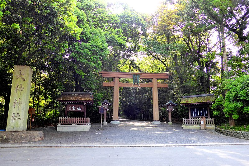
| Description | Omiwa Shrine, Torii (Gate) -1 (May 2016) | ||
| Date | Taken on 2 May 2016 | ||
| Source | https://web.archive.org/web/20161103140514/http://www.panoramio.com/photo/130162477 | ||
| Author | ttshr1970 | ||
| Permission (Reusing this file) |
This file is licensed under the Creative Commons Attribution 3.0 Unported license. Attribution: ttshr1970
|
||
| Panoramio Tags | Sakurai, Japan, Kansai, Nara, Omiwa Shrine, Sakurai, 大神神社, 奈良県, 桜井市 |
| Camera location | | View this and other nearby images on: OpenStreetMap |
|---|
_-1_(May_2016)_-_panoramio.jpg¶ms=034.528861_N_0135.850158_E_globe:Earth_type:camera_source:Panoramio_&language=en)
File history
Click on a date/time to view the file as it appeared at that time.
| Date/Time | Thumbnail | Dimensions | User | Comment | |
|---|---|---|---|---|---|
| current | 16:10, 6 July 2017 | | 2,048 × 1,365 (1.26 MB) | Panoramio upload bot (talk | contribs) | == {{int:filedesc}} == {{Information |description=Omiwa Shrine, Torii (Gate) -1 (May 2016) |date={{Taken on|2016-05-02}} |source=http://www.panoramio.com/photo/130162477 |author=[http://www.panoramio.com/user/7641638?with_photo_id=130162477 ttshr1970]... |
You cannot overwrite this file.
File usage on Commons
The following page uses this file:
File usage on other wikis
The following other wikis use this file:
- Usage on www.wikidata.org
_-1_(May_2016)_-_panoramio.jpg&oldid=867834854)