File:Omak Airport view.jpg
Jump to navigation
Jump to search

Size of this preview: 600 × 600 pixels. Other resolutions: 240 × 240 pixels | 480 × 480 pixels | 768 × 768 pixels.
Original file (768 × 768 pixels, file size: 87 KB, MIME type: image/jpeg)
Captions
Captions
Add a one-line explanation of what this file represents
Summary
[edit]
| Description |
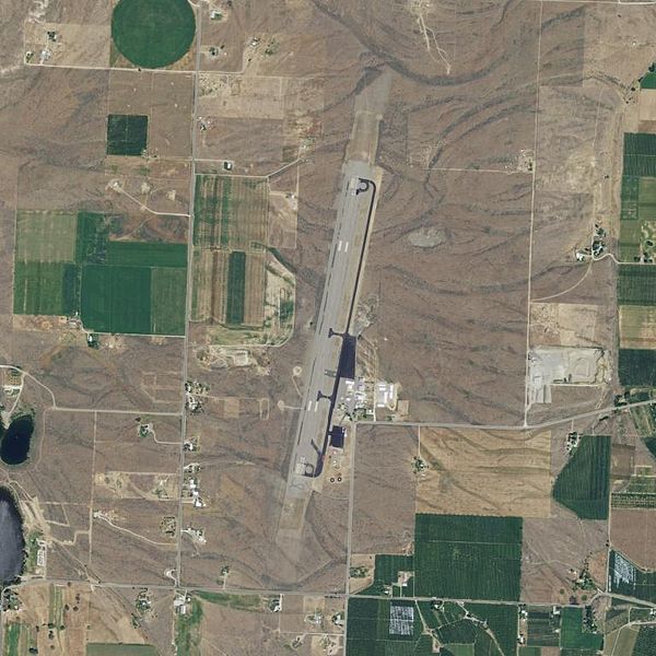
English: USGS digital orthophoto of Omak Airport in the U.S. state of Washington |
|||
| Date | ||||
| Source | USGS via TopoQuest: Topoquest | |||
| Author | United States Geological Survey (USGS) | |||
| Permission (Reusing this file) |
|
File history
Click on a date/time to view the file as it appeared at that time.
| Date/Time | Thumbnail | Dimensions | User | Comment | |
|---|---|---|---|---|---|
| current | 08:01, 9 February 2013 | | 768 × 768 (87 KB) | Ecpiandy (talk | contribs) | {{Information |Description ={{en|1=USGS digital orthophoto of Walla Walla Regional Airport in the U.S. state of Washington}} |Source =USGS via TopoQuest: [http://www.topoquest.com/map.php?lat=48.464169&lon=-119.518059&datum=nad83&zoom=4&... |
You cannot overwrite this file.
File usage on Commons
The following 2 pages use this file:
File usage on other wikis
The following other wikis use this file:
- Usage on arz.wikipedia.org
- Usage on ceb.wikipedia.org
- Usage on en.wikipedia.org
- Usage on en.wikivoyage.org
- Usage on ro.wikipedia.org
- Usage on ur.wikipedia.org
- Usage on www.wikidata.org