File:Old log jam along Ohanapecosh River. (aae9c6cd3e794cce90b0d66fea13cb9e).JPG
Jump to navigation
Jump to search
Size of this preview: 800 × 600 pixels. Other resolutions: 320 × 240 pixels | 640 × 480 pixels | 1,024 × 768 pixels | 1,280 × 960 pixels | 2,560 × 1,920 pixels.
Original file (2,560 × 1,920 pixels, file size: 2.25 MB, MIME type: image/jpeg)
Captions
Captions
Add a one-line explanation of what this file represents
Summary
[edit].JPG&action=edit§ion=1)
| English: Ohanapecosh River | ||||
|---|---|---|---|---|
| Photographer |
English: Steve Redman (MORA) |
|||
| Title |
English: Ohanapecosh River |
|||
| Publisher |
English: U.S. National Park Service |
|||
| Description |
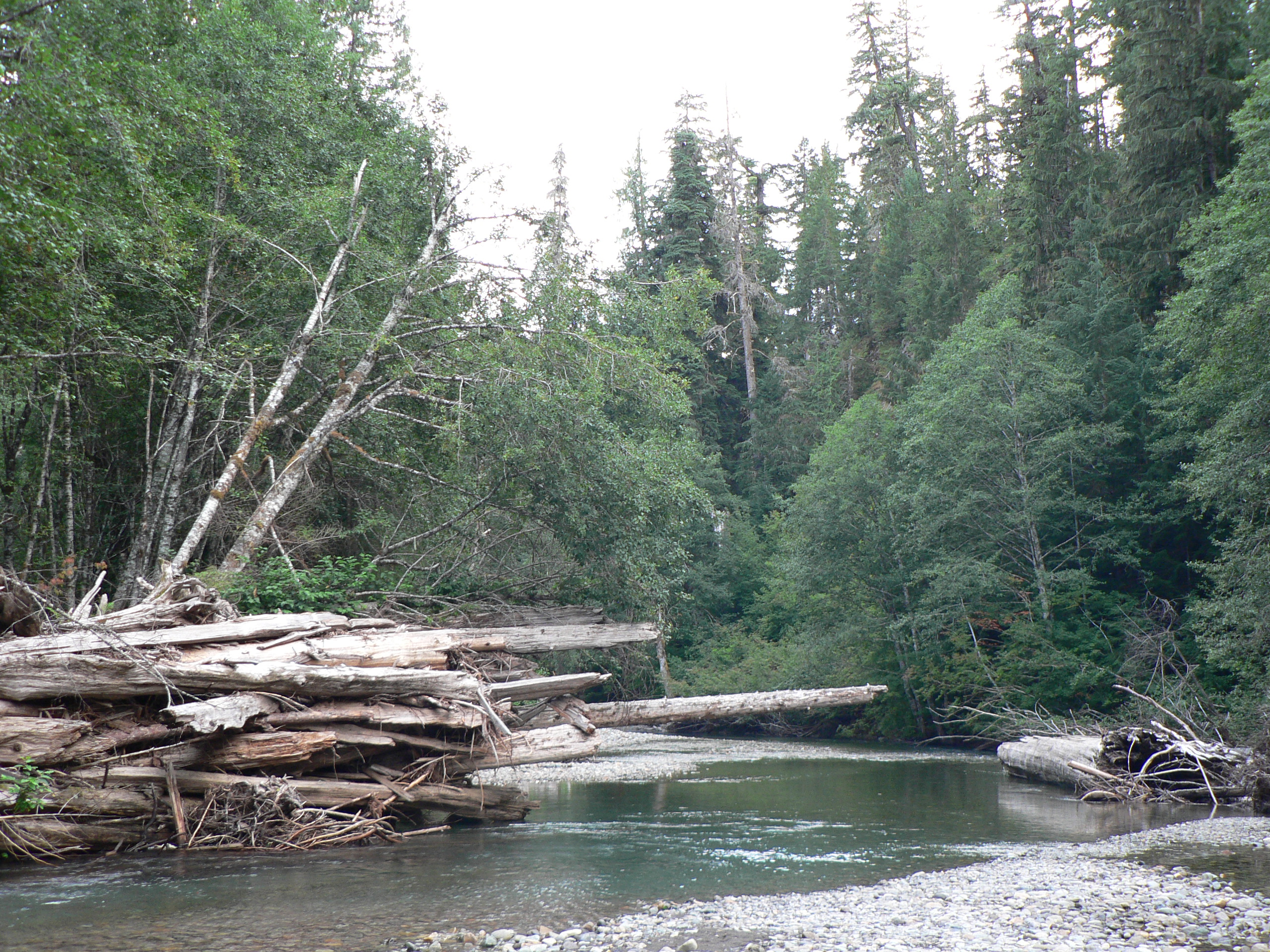
English: Ohanapecosh River Old log jam along Ohanapecosh River.
|
|||
| Depicted place |
English: near Grove of the Patriarchs; Mount Rainier National Park, Washington; Latitude: 46.865608215332, Longitude: -121.682601928711 |
|||
| Date | Taken on 4 September 2009 | |||
| Accession number | ||||
| Source |
English: NPGallery |
|||
| Permission (Reusing this file) |
|
|||
| Contacts | English: Organization: U.S. National Park Service Address: 55210 238th Avenue East Ashford, WA 98304, Phone: 360.569.2211 |
|||
| NPS Unit Code | MORA | |||
| Camera location | | View this and other nearby images on: OpenStreetMap |
|---|
.JPG¶ms=046.763000_N_-121.556500_E_globe:Earth_type:camera_source:estimated_&language=en)
The geographical information in this file was retrospectively estimated.
The location may therefore be somewhat imprecise. Verifying and refining these coordinates is strongly encouraged. |
File history
Click on a date/time to view the file as it appeared at that time.
| Date/Time | Thumbnail | Dimensions | User | Comment | |
|---|---|---|---|---|---|
| current | 06:11, 17 September 2019 | | 2,560 × 1,920 (2.25 MB) | BMacZeroBot (talk | contribs) | Batch upload (Commons:Batch uploading/NPGallery) |
You cannot overwrite this file.
File usage on Commons
The following page uses this file:
.JPG)
.JPG&oldid=770052120)