File:Old Coffee House - panoramio.jpg
Jump to navigation
Jump to search
Size of this preview: 796 × 599 pixels. Other resolutions: 319 × 240 pixels | 638 × 480 pixels | 1,020 × 768 pixels | 1,280 × 964 pixels | 2,592 × 1,952 pixels.
Original file (2,592 × 1,952 pixels, file size: 1.4 MB, MIME type: image/jpeg)
Captions
Captions
Add a one-line explanation of what this file represents
Summary
[edit]
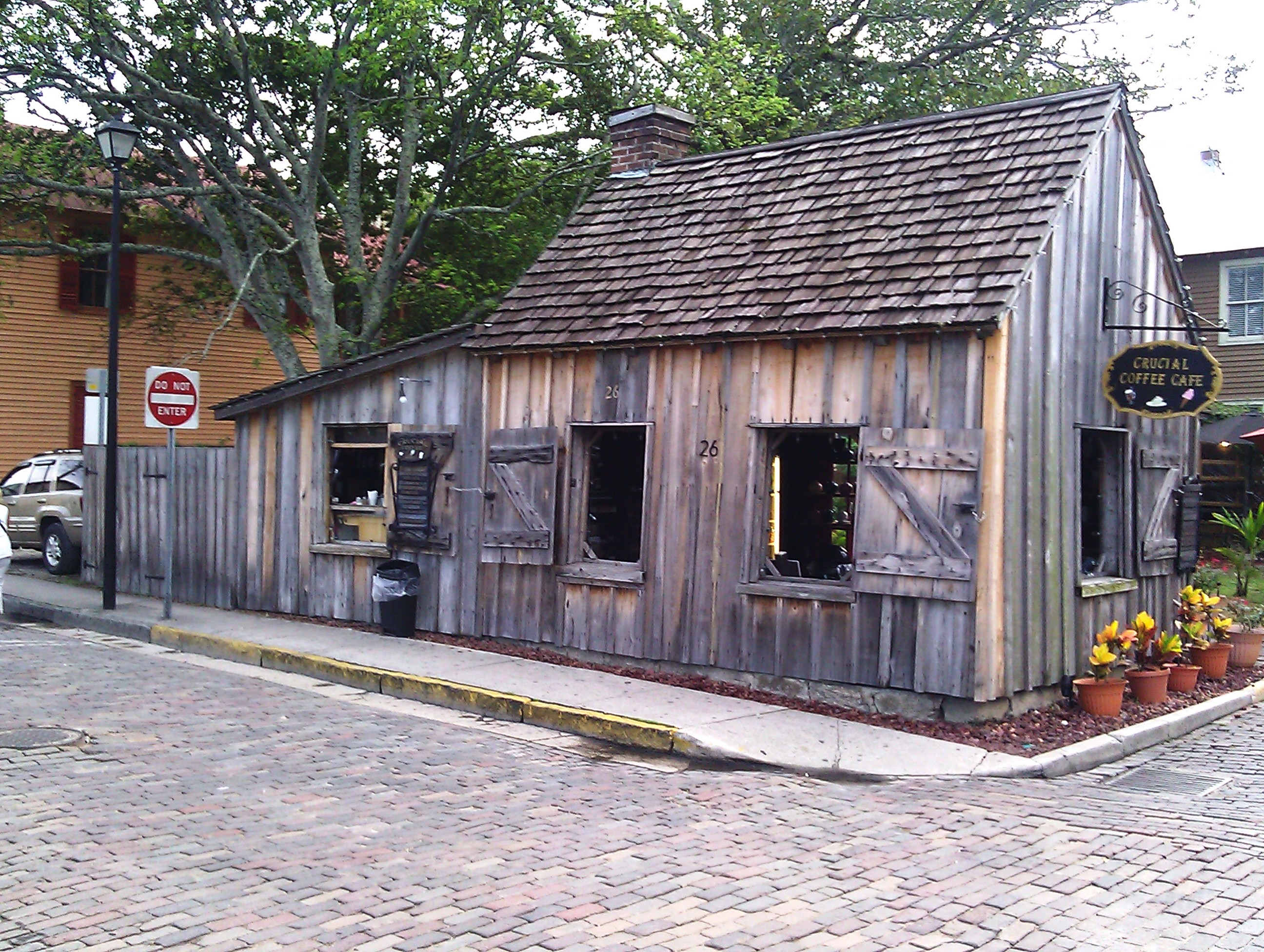
| Description | Old Coffee House | ||
| Date | Taken on 16 August 2012 | ||
| Source | https://web.archive.org/web/20161026191021/http://www.panoramio.com/photo/77486728 | ||
| Author | James Castle | ||
| Permission (Reusing this file) |
This file is licensed under the Creative Commons Attribution-Share Alike 3.0 Unported license. Attribution: James Castle
|
||
| Tags (from Panoramio photo page) | St. Augustine |
| Camera location | | View this and other nearby images on: OpenStreetMap |
|---|
File history
Click on a date/time to view the file as it appeared at that time.
| Date/Time | Thumbnail | Dimensions | User | Comment | |
|---|---|---|---|---|---|
| current | 14:22, 18 January 2017 | | 2,592 × 1,952 (1.4 MB) | Panoramio upload bot (talk | contribs) | == {{int:filedesc}} == {{Information |description=Old Coffee House |date={{Taken on|2012-08-16}} |source=http://www.panoramio.com/photo/77486728 |author=[http://www.panoramio.com/user/5571749?with_photo_id=77486728 James Castle] |permission={{cc-by-sa-... |
You cannot overwrite this file.
File usage on Commons
There are no pages that use this file.