File:Ohligser Heide im Februar - panoramio.jpg
Jump to navigation
Jump to search

Size of this preview: 800 × 196 pixels. Other resolutions: 320 × 78 pixels | 640 × 156 pixels | 1,024 × 250 pixels | 1,280 × 313 pixels | 2,560 × 626 pixels | 11,349 × 2,774 pixels.
Original file (11,349 × 2,774 pixels, file size: 5.24 MB, MIME type: image/jpeg)
Captions
Captions
Add a one-line explanation of what this file represents
Summary
[edit]
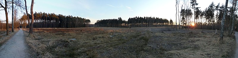
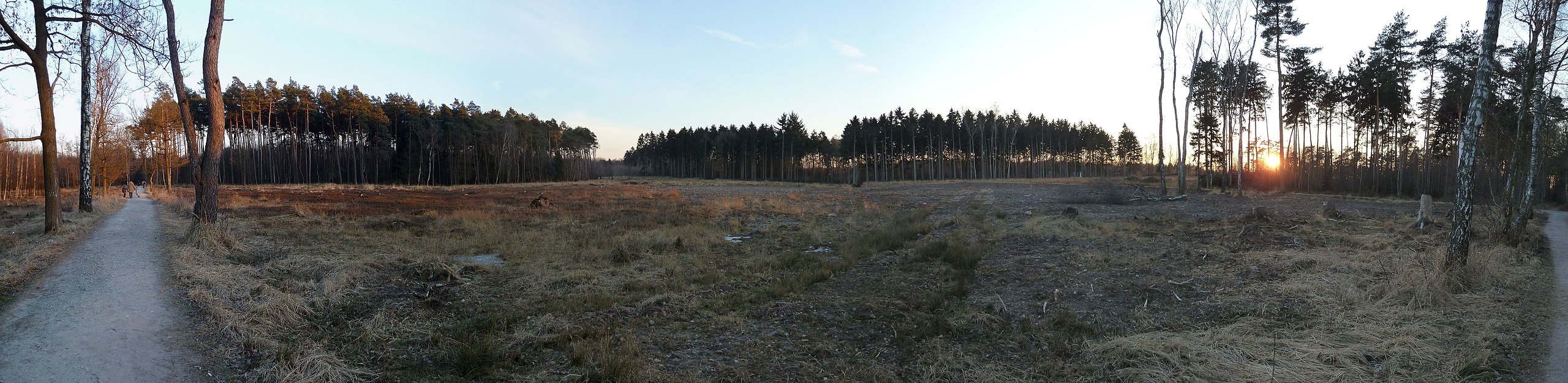
| Description | Ohligser Heide im Februar | ||
| Date | Taken on 5 February 2012 | ||
| Source | https://web.archive.org/web/20161019223323/http://www.panoramio.com/photo/66627555 | ||
| Author | Come back | ||
| Permission (Reusing this file) |
This file is licensed under the Creative Commons Attribution-Share Alike 3.0 Unported license. Attribution: Come back
|
||
| Tags (from Panoramio photo page) | Solingen, Deutschland, Elberfeld, Nordrhein-Westfalen, Ohligs, Solingen |
| Camera location | | View this and other nearby images on: OpenStreetMap |
|---|
File history
Click on a date/time to view the file as it appeared at that time.
| Date/Time | Thumbnail | Dimensions | User | Comment | |
|---|---|---|---|---|---|
| current | 18:33, 26 December 2016 | 11,349 × 2,774 (5.24 MB) | Panoramio upload bot (talk | contribs) | == {{int:filedesc}} == {{Information |description=Ohligser Heide im Februar |date={{Taken on|2012-02-05}} |source=http://www.panoramio.com/photo/66627555 |author=[http://www.panoramio.com/user/5232539?with_photo_id=66627555 Come back] |permission={{cc-... |
You cannot overwrite this file.
File usage on Commons
There are no pages that use this file.