File:Odenheimer Bach.jpg
Jump to navigation
Jump to search

Size of this preview: 448 × 599 pixels. Other resolutions: 179 × 240 pixels | 359 × 480 pixels | 574 × 768 pixels | 766 × 1,024 pixels | 1,532 × 2,048 pixels | 2,992 × 4,000 pixels.
Original file (2,992 × 4,000 pixels, file size: 6.95 MB, MIME type: image/jpeg)
Captions
Captions
Add a one-line explanation of what this file represents
Summary
[edit]
| Description |
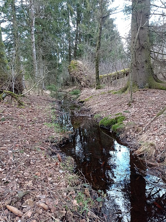
Deutsch: Odenheimer Bach etwas nördlich des Schwarzen Bruchs |
| Date | 18 March 2023 (according to Exif data) |
| Source | Own work |
| Author | Tolanor |
| Camera location | | View this and other nearby images on: OpenStreetMap |
|---|
Licensing
[edit]
I, the copyright holder of this work, hereby publish it under the following license:
This file is licensed under the Creative Commons Attribution-Share Alike 4.0 International license.
- You are free:
- to share – to copy, distribute and transmit the work
- to remix – to adapt the work
- Under the following conditions:
- attribution – You must give appropriate credit, provide a link to the license, and indicate if changes were made. You may do so in any reasonable manner, but not in any way that suggests the licensor endorses you or your use.
- share alike – If you remix, transform, or build upon the material, you must distribute your contributions under the same or compatible license as the original.
|
Deutsch: Das Foto habe ich als Urheber unter der Creative-Commons-Lizenz CC-by-SA-3.0. veröffentlicht. Dies bedeutet, dass eine kostenlose Nutzung außerhalb der Wikimedia-Projekte unter folgenden Bedingungen möglich ist:
Ich würde mich sehr über die Zusendung eines Belegexemplares bzw. der Angabe der Internetseite, auf der das Foto benutzt wird, freuen. Bitte schreiben Sie eine E-Mail an brandessoeren(at)googlemail(punkt)com, wenn Sie
English: I have published this image as author under the Creative-Commons-License CC-by-SA-3.0. This means that free usage outside of Wikimedia projects under the following terms of licence is possible:
I would be happy to receive a specimen copy or the URL of the website where the image is used. Please write an email to brandessoeren(at)googlemail(dot)com, if you
|
| This file was uploaded via Mobile Android App (Commons mobile app) 4.0.5~f03b7dd8d. |
File history
Click on a date/time to view the file as it appeared at that time.
| Date/Time | Thumbnail | Dimensions | User | Comment | |
|---|---|---|---|---|---|
| current | 16:15, 21 April 2023 | | 2,992 × 4,000 (6.95 MB) | Tolanor (talk | contribs) | Uploaded using Commons Mobile App |
You cannot overwrite this file.
File usage on Commons
The following page uses this file:
File usage on other wikis
The following other wikis use this file:
- Usage on de.wikipedia.org