File:Obwód piński.png
Jump to navigation
Jump to search
Size of this preview: 800 × 582 pixels. Other resolutions: 320 × 233 pixels | 640 × 465 pixels | 1,024 × 744 pixels | 1,280 × 931 pixels | 1,458 × 1,060 pixels.
Original file (1,458 × 1,060 pixels, file size: 45 KB, MIME type: image/png)
Captions
Captions
Add a one-line explanation of what this file represents
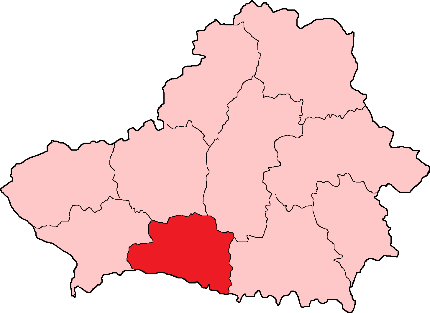
| Description | Położenie obwodu pińskiego na mapie BSRR w 1940 r. | ||||||||
| Date | 9 August 2009 (upload date) | ||||||||
| Source | File:Bssr1940.png | ||||||||
| Author | Kuban kazak, Poznaniak | ||||||||
| Permission (Reusing this file) |
|

File history
Click on a date/time to view the file as it appeared at that time.
| Date/Time | Thumbnail | Dimensions | User | Comment | |
|---|---|---|---|---|---|
| current | 15:42, 9 August 2009 | | 1,458 × 1,060 (45 KB) | Poznaniak (talk | contribs) | {{Information |Description=Położenie obwodu pińskiego na mapie BSRR w 1940 r. |Source=File:Bssr1940.png |Date=09.08.2009 |Author=Kuban kazak, Poznaniak |Permission={{GFDL}} }} [[Category:Blank maps of Bela |
You cannot overwrite this file.
File usage on Commons
There are no pages that use this file.
File usage on other wikis
The following other wikis use this file:
- Usage on fr.wikipedia.org
- Usage on pl.wikipedia.org
- Usage on zh.wikipedia.org