File:Obryte (gmina) location map.png
Jump to navigation
Jump to search
Size of this preview: 771 × 600 pixels. Other resolutions: 309 × 240 pixels | 617 × 480 pixels | 919 × 715 pixels.
Original file (919 × 715 pixels, file size: 143 KB, MIME type: image/png)
Captions
Captions
Add a one-line explanation of what this file represents
| Description |
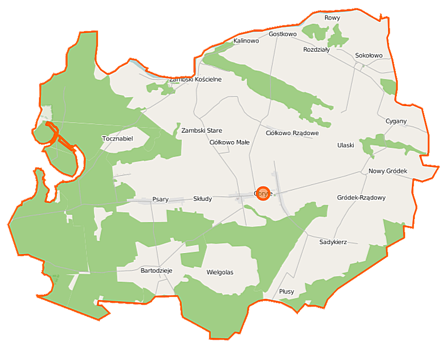
Polski: Mapa gminy Obryte, Polska
English: Map of Gmina Obryte, Poland |
|||||||||
| Date | ||||||||||
| Source | You may find a page on the OpenStreetMap wiki page for Obryte (gmina) | |||||||||
| Creator |
OpenStreetMap contributors OpenStreetMap contributors |
|||||||||
| Permission (Reusing this file) |
OpenStreetMap data is available under the Open Database License (details). Map tiles are licensed under the Creative Commons Attribution-ShareAlike 2.0 license (CC-BY-SA 2.0).
This file is licensed under the Creative Commons Attribution-Share Alike 2.0 Generic license.
|
|||||||||
| Geotemporal data | ||||||||||
| Bounding box |
|
|||||||||
| Georeferencing | If inappropriate please set warp_status = skip to hide. | |||||||||
File history
Click on a date/time to view the file as it appeared at that time.
| Date/Time | Thumbnail | Dimensions | User | Comment | |
|---|---|---|---|---|---|
| current | 08:11, 25 September 2014 | | 919 × 715 (143 KB) | VanWiel (talk | contribs) | {{OpenStreetMap | name = Obryte (gmina) | location = Obryte (gmina) | description = {{pl|Mapa gminy Obryte, Polska}} {{en|Map of Gmina Obryte, Poland}} | top = 52.7828 | left = 21.1054 | right... |
You cannot overwrite this file.
File usage on Commons
There are no pages that use this file.
File usage on other wikis
The following other wikis use this file:
- Usage on fr.wikipedia.org
- Usage on pl.wikipedia.org
- Obryte (gmina)
- Obryte (wieś w powiecie pułtuskim)
- Ciółkowo Małe
- Ciółkowo Rządowe
- Gródek Rządowy
- Gródek Nowy (województwo mazowieckie)
- Rozdziały
- Skłudy
- Sokołowo-Parcele (województwo mazowieckie)
- Sokołowo Włościańskie
- Zambski Stare
- Tocznabiel (wieś w województwie mazowieckim)
- Zambski Kościelne
- Cygany (województwo mazowieckie)
- Mokrus (województwo mazowieckie)
- Płusy (województwo mazowieckie)
- Rowy (powiat pułtuski)
- Bartodzieje (powiat pułtuski)
- Gostkowo (powiat pułtuski)
- Kalinowo (powiat pułtuski)
- Psary (powiat pułtuski)
- Sadykierz (powiat pułtuski)
- Ulaski (powiat pułtuski)
- Wielgolas (powiat pułtuski)
- Rezerwat przyrody Popławy
- Parafia św. Wojciecha w Zambskach Kościelnych
- Parafia św. Jana Chrzciciela w Obrytem
- Rezerwat przyrody Bartnia
- Kościół św. Rocha w Sadykrzu
- Kościół Trójcy Świętej w Obrytem
- Bartodzieje-Gajówka
- Lutobrok-Gajówka
- Obryte-Leśniczówka
- Pawłówek-Gajówka
- Placusin-Gajówka
- Popławy-Gajówka
- Psary-Gajówka
- Ponikiew-Leśniczówka
- Działki (powiat pułtuski)
- Obryte (kolonia w powiecie pułtuskim)
- Wielgolas-Leśniczówka
- Wzgórze-Leśniczówka
- Zambski-Gajówka
- Tocznabiel (osada leśna w województwie mazowieckim)
- Moduł:Mapa/dane/Obryte (gmina)
- Kościół św. Wojciecha w Zambskach Kościelnych
- Parafia Niepokalanego Poczęcia Najświętszej Maryi Panny w Sokołowie Włościańskim
- Wikipedystka:Agathos de/brudnopis
- Usage on pl.wikibooks.org
_location_map.png&oldid=519986365)