File:Obermühlenweg 3, Mühlbach 01.jpg
Jump to navigation
Jump to search

Size of this preview: 800 × 533 pixels. Other resolutions: 320 × 213 pixels | 640 × 427 pixels | 1,024 × 683 pixels | 1,280 × 853 pixels | 2,560 × 1,706 pixels | 4,624 × 3,082 pixels.
Original file (4,624 × 3,082 pixels, file size: 7.37 MB, MIME type: image/jpeg)
Captions
Captions
Add a one-line explanation of what this file represents
Summary
[edit]
| Description |
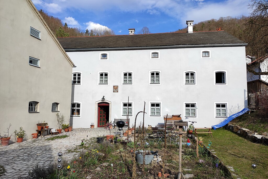
English: Wohn- und Mühlengebäude, zweigeschossig mit Kniestock, im Kern noch 18. Jahrhundert, 1861 giebelseitig nach Westen verlängert; mit oberschlächtigem Mühlrad und Mühleneinrichtung des frühen 20. Jahrhunderts;
Wirtschaftsgebäude, giebelständiger Flachsatteldachbau mit Kalkplattendach und rückwärtig gewölbten Stallungen, 1. Hälfte 19. Jahrhundert; Sägmühlstadel, hölzerne Ständerkonstruktion mit Satteldach auf Bruchsteinsockel, 18./19. Jahrhundert; Ehemaliger Stall, eingeschossiger Bruchsteinbau mit Frackdachbau, 19./20. Jahrhundert; Mühlteich, Quellenfassung mit Stau- bzw. Überlaufvorrichtung, Quadermauerwerk, wohl 18. Jahrhundert |
| Date | |
| Source | Own work |
| Author | H.Helmlechner |
| Camera location | | View this and other nearby images on: OpenStreetMap |
|---|
Licensing
[edit]
I, the copyright holder of this work, hereby publish it under the following license:
This file is licensed under the Creative Commons Attribution-Share Alike 4.0 International license.
- You are free:
- to share – to copy, distribute and transmit the work
- to remix – to adapt the work
- Under the following conditions:
- attribution – You must give appropriate credit, provide a link to the license, and indicate if changes were made. You may do so in any reasonable manner, but not in any way that suggests the licensor endorses you or your use.
- share alike – If you remix, transform, or build upon the material, you must distribute your contributions under the same or compatible license as the original.
File history
Click on a date/time to view the file as it appeared at that time.
| Date/Time | Thumbnail | Dimensions | User | Comment | |
|---|---|---|---|---|---|
| current | 19:45, 14 October 2021 | | 4,624 × 3,082 (7.37 MB) | Helmlechner (talk | contribs) | Uploaded own work with UploadWizard |
You cannot overwrite this file.
File usage on Commons
There are no pages that use this file.