File:Oamaru Harbour Buildings.JPG
Jump to navigation
Jump to search
Size of this preview: 800 × 178 pixels. Other resolutions: 320 × 71 pixels | 640 × 142 pixels | 1,024 × 228 pixels | 3,632 × 808 pixels.
Original file (3,632 × 808 pixels, file size: 853 KB, MIME type: image/jpeg)
Captions
Captions
Add a one-line explanation of what this file represents
Summary
[edit]
| Camera location | | View this and other nearby images on: OpenStreetMap |
|---|
| Description |
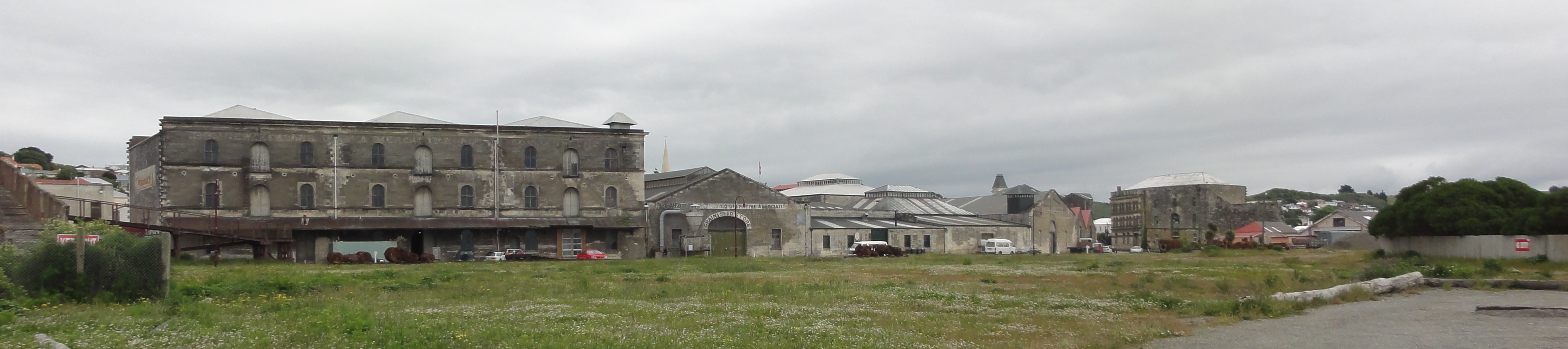
English: Harbour Area, Oamaru, NZ (most of the buildings shown are the back sides of houses belong to harbour street) at the left parts of a now defunct pedestrian bridge of the former railway area is seen |
| Date | |
| Source | Own work |
| Author | Andy king50 |
Licensing
[edit]
I, the copyright holder of this work, hereby publish it under the following license:
This file is licensed under the Creative Commons Attribution-Share Alike 3.0 Unported license.
- You are free:
- to share – to copy, distribute and transmit the work
- to remix – to adapt the work
- Under the following conditions:
- attribution – You must give appropriate credit, provide a link to the license, and indicate if changes were made. You may do so in any reasonable manner, but not in any way that suggests the licensor endorses you or your use.
- share alike – If you remix, transform, or build upon the material, you must distribute your contributions under the same or compatible license as the original.
| Annotations | This image is annotated: View the annotations at Commons |
File history
Click on a date/time to view the file as it appeared at that time.
| Date/Time | Thumbnail | Dimensions | User | Comment | |
|---|---|---|---|---|---|
| current | 15:04, 16 May 2012 | 3,632 × 808 (853 KB) | Andy king50 (talk | contribs) |
You cannot overwrite this file.
File usage on Commons
There are no pages that use this file.