File:Nyagatare district map.jpg
Jump to navigation
Jump to search

Size of this preview: 457 × 600 pixels. Other resolutions: 183 × 240 pixels | 366 × 480 pixels | 585 × 768 pixels | 780 × 1,024 pixels | 1,560 × 2,048 pixels | 3,779 × 4,960 pixels.
Original file (3,779 × 4,960 pixels, file size: 1.06 MB, MIME type: image/jpeg)
Captions
Captions
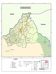
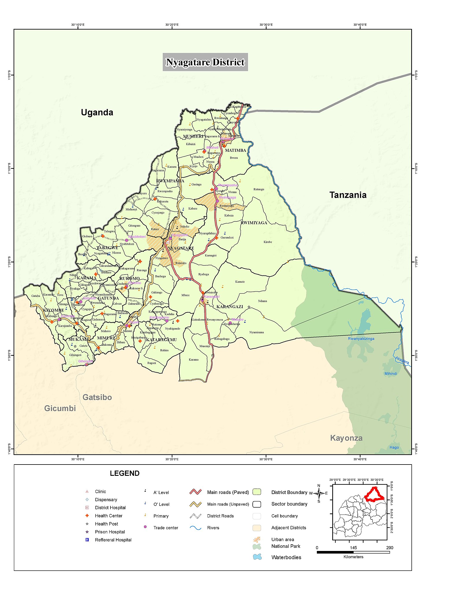
Map of Nyagatare district Rwanda
Summary
[edit]
| Description |
Nederlands: Kaart van district Nyagatare Rwanda
English: Map of Nyagatare district Rwanda |
| Date | |
| Source | http://geodata-nisr-rwanda.opendata.arcgis.com/datasets/c756afbccc4048b5812ff8e0f183a499 |
| Author | National Institute of Statistics Rwanda |
Licensing
[edit]
| This work has been released into the public domain by its author, National Institute of Statistics Rwanda. This applies worldwide. In some countries this may not be legally possible; if so: National Institute of Statistics Rwanda grants anyone the right to use this work for any purpose, without any conditions, unless such conditions are required by law.
|
File history
Click on a date/time to view the file as it appeared at that time.
| Date/Time | Thumbnail | Dimensions | User | Comment | |
|---|---|---|---|---|---|
| current | 11:20, 21 August 2019 | | 3,779 × 4,960 (1.06 MB) | Kevin 990 (talk | contribs) | User created page with UploadWizard |
You cannot overwrite this file.
File usage on Commons
The following page uses this file:
File usage on other wikis
The following other wikis use this file:
- Usage on ca.wikipedia.org
- Usage on de.wikipedia.org
- Usage on nl.wikipedia.org
- Usage on rw.wikipedia.org
- Usage on www.wikidata.org