File:Nucla city limit sign.JPG
Jump to navigation
Jump to search
Size of this preview: 744 × 600 pixels. Other resolutions: 298 × 240 pixels | 595 × 480 pixels | 953 × 768 pixels | 1,270 × 1,024 pixels | 2,540 × 2,048 pixels | 3,928 × 3,167 pixels.
Original file (3,928 × 3,167 pixels, file size: 10.24 MB, MIME type: image/jpeg)
Captions
Captions
Add a one-line explanation of what this file represents
Summary
[edit]
| Description |
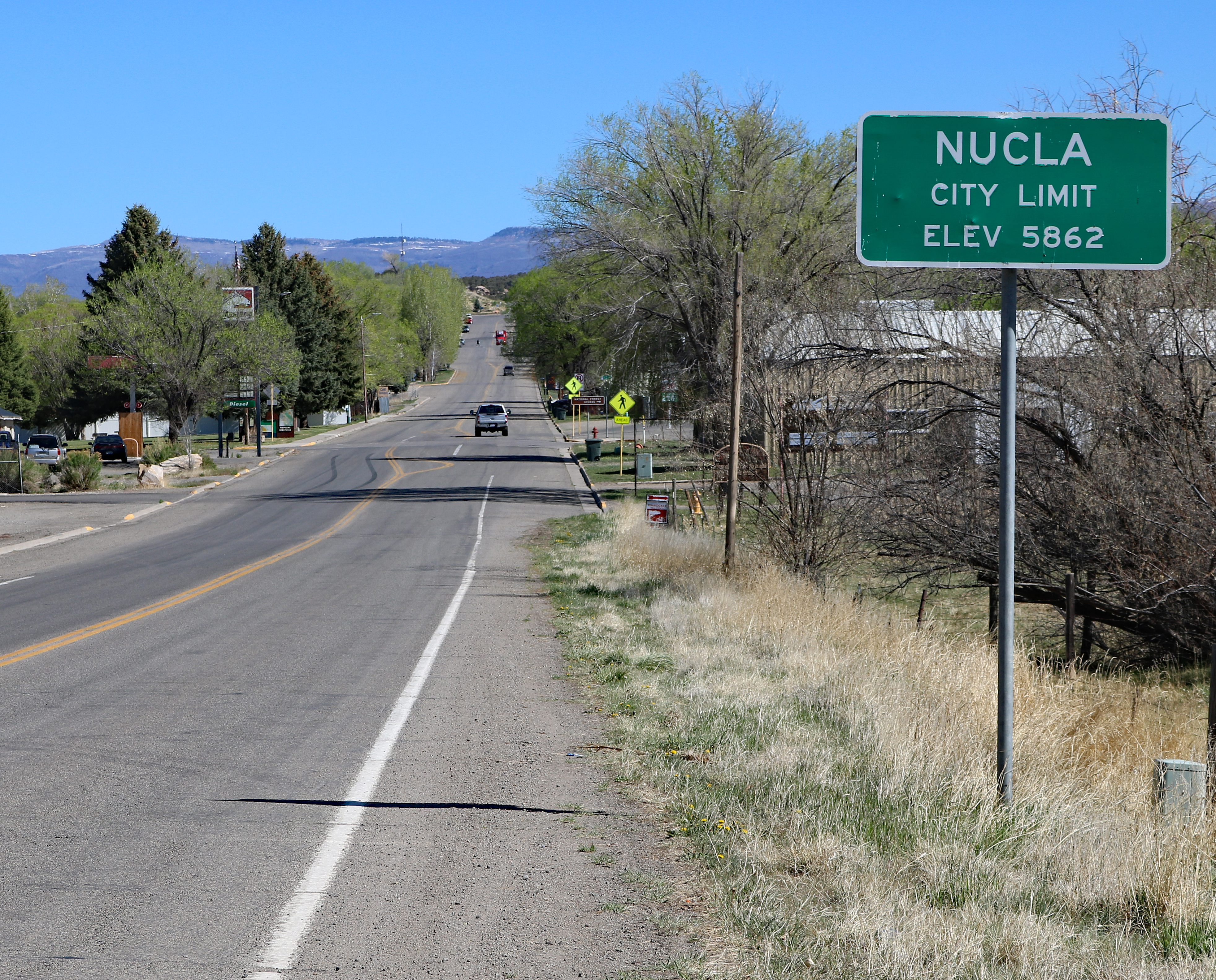
English: One of the city limits signs for Nucla, Colorado. The sign is along Colorado State Highway 97, entering Nucla from the south. |
| Date | |
| Source | Own work |
| Author | Jeffrey Beall |
| Object location | | View this and other nearby images on: OpenStreetMap |
|---|
Licensing
[edit]
I, the copyright holder of this work, hereby publish it under the following license:
This file is licensed under the Creative Commons Attribution 4.0 International license.
- You are free:
- to share – to copy, distribute and transmit the work
- to remix – to adapt the work
- Under the following conditions:
- attribution – You must give appropriate credit, provide a link to the license, and indicate if changes were made. You may do so in any reasonable manner, but not in any way that suggests the licensor endorses you or your use.
File history
Click on a date/time to view the file as it appeared at that time.
| Date/Time | Thumbnail | Dimensions | User | Comment | |
|---|---|---|---|---|---|
| current | 10:42, 2 May 2020 | | 3,928 × 3,167 (10.24 MB) | Jeffrey Beall (talk | contribs) | {{Information |description ={{en|1=One of the city limits signs for {{W|Nucla, Colorado}}. The sign is along {{W|Colorado State Highway 97}}, entering Nucla from the south. }} |date =2020-04-29 |source ={{own}} |author =User:Jeffrey Beall }} {{Object location|38|15|33.99|N|108|32|45.23|W}} Category:Nucla, Colorado Category:City signs in Colorado Category:Colorado State Highway 97 Category:April 2020 in Colorado |
You cannot overwrite this file.
File usage on Commons
There are no pages that use this file.