File:Nu'ulopa island - Samoa.jpg
Jump to navigation
Jump to search

Size of this preview: 800 × 526 pixels. Other resolutions: 320 × 210 pixels | 640 × 421 pixels | 1,024 × 673 pixels | 1,280 × 842 pixels | 2,560 × 1,683 pixels | 3,607 × 2,372 pixels.
Original file (3,607 × 2,372 pixels, file size: 620 KB, MIME type: image/jpeg)
Captions
Captions
Add a one-line explanation of what this file represents
| Description |
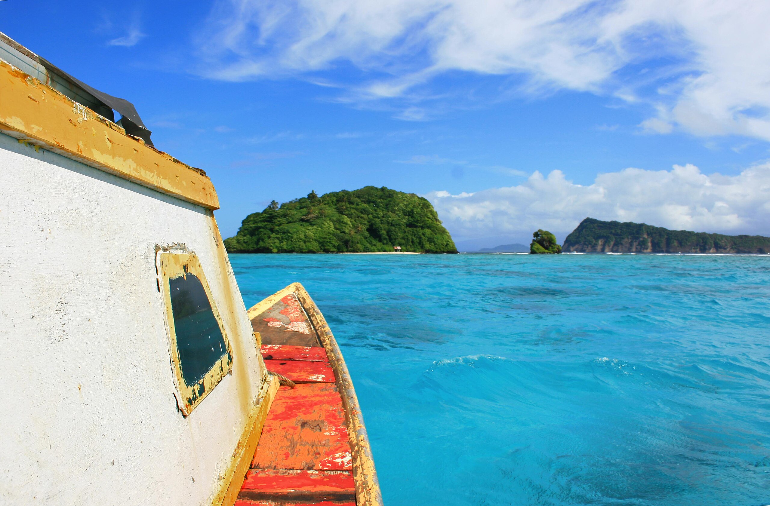
Uninhabited Nu'ulopa island in the Apolima Strait in Samoa. Photo taken from a boat heading towards Nu'ulopa for a picnic. It was a lovely sunny day. Apolima-tai (village on Apolima island) is to the right, and Savai'i island is in the distance. |
||
| Date | |||
| Source | originally posted to Flickr as Nu'ulopa | ||
| Author | Neil | ||
| Permission (Reusing this file) |
This file is licensed under the Creative Commons Attribution 2.0 Generic license.
|
| Camera location | | View this and other nearby images on: OpenStreetMap |
|---|
File history
Click on a date/time to view the file as it appeared at that time.
| Date/Time | Thumbnail | Dimensions | User | Comment | |
|---|---|---|---|---|---|
| current | 03:20, 6 February 2010 | | 3,607 × 2,372 (620 KB) | Flickr upload bot (talk | contribs) | Uploaded from http://flickr.com/photo/21976354@N07/2349730708 using Flickr upload bot |
You cannot overwrite this file.
File usage on Commons
There are no pages that use this file.
File usage on other wikis
The following other wikis use this file:
- Usage on ar.wikipedia.org
- Usage on ast.wikipedia.org
- Usage on de.wikipedia.org
- Usage on el.wikipedia.org
- Usage on en.wikipedia.org
- Usage on es.wikipedia.org
- Usage on fa.wikipedia.org
- Usage on fr.wikipedia.org
- Usage on hu.wikipedia.org
- Usage on it.wikipedia.org
- Usage on ko.wikipedia.org
- Usage on ky.wikipedia.org
- Usage on lt.wikipedia.org
- Usage on mk.wikipedia.org
- Usage on nl.wikipedia.org
- Usage on pl.wikipedia.org
- Usage on ru.wikipedia.org
- Usage on te.wikipedia.org
- Usage on www.wikidata.org