File:Nowa Sarzyna - budynek kolejowy (2).jpg
Jump to navigation
Jump to search

Size of this preview: 799 × 599 pixels. Other resolutions: 320 × 240 pixels | 640 × 480 pixels | 1,024 × 768 pixels | 1,280 × 960 pixels | 2,560 × 1,920 pixels | 3,213 × 2,410 pixels.
Original file (3,213 × 2,410 pixels, file size: 5.5 MB, MIME type: image/jpeg)
Captions
Captions
Add a one-line explanation of what this file represents
Summary
[edit].jpg&action=edit§ion=1)
| Description |
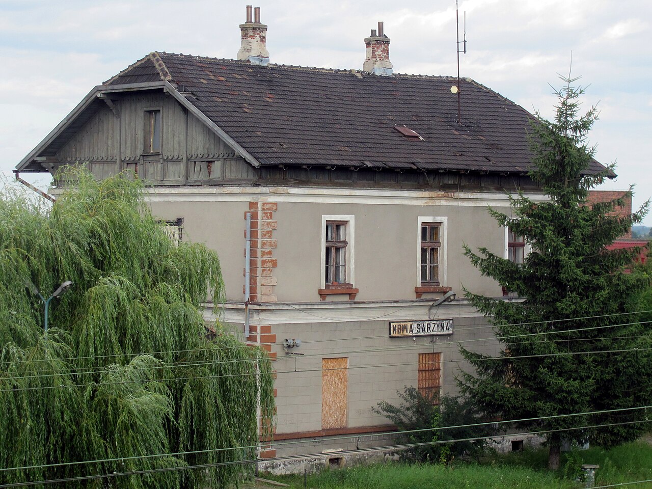
Čeština: Budova nádraží v obci Nowa Sarzyna, Polsko |
| Date | |
| Source | Own work |
| Author | Maly_student |
| Camera location | | View this and other nearby images on: OpenStreetMap |
|---|
.jpg¶ms=050.321305_N_0022.346884_E_globe:Earth_type:camera__&language=en)
Licensing
[edit].jpg&action=edit§ion=2)
| This file is made available under the Creative Commons CC0 1.0 Universal Public Domain Dedication. | |
| The person who associated a work with this deed has dedicated the work to the public domain by waiving all of their rights to the work worldwide under copyright law, including all related and neighboring rights, to the extent allowed by law. You can copy, modify, distribute and perform the work, even for commercial purposes, all without asking permission.
|
 |
This photo was taken during Railway Wikiexpedition 2013 set up by Wikimedia Polska Association. You can see all photographs in category Wikiekspedycja kolejowa 2013.
|
File history
Click on a date/time to view the file as it appeared at that time.
| Date/Time | Thumbnail | Dimensions | User | Comment | |
|---|---|---|---|---|---|
| current | 23:52, 1 August 2013 | | 3,213 × 2,410 (5.5 MB) | Maly student (talk | contribs) | VicuñaUploader 1.16 |
You cannot overwrite this file.
File usage on Commons
The following page uses this file:
File usage on other wikis
The following other wikis use this file:
- Usage on dsb.wikipedia.org
.jpg&oldid=718700272)