File:Norway Nordland location map.svg

Original file (SVG file, nominally 684 × 944 pixels, file size: 514 KB)
Captions
Captions
Summary
[edit]| Description |
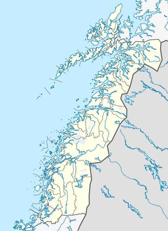
Quadratische Plattkarte, N-S-Streckung 255 %. Geographische Begrenzung der Karte:
Equirectangular projection, N/S stretching 255 %. Geographic limits of the map:
|
|
| Date | ||
| Source |
Own work, using
|
|
| Author | NordNordWest | |
| Permission (Reusing this file) |
This file is licensed under the Creative Commons Attribution-Share Alike 3.0 Germany license.
 This file is licensed under the Creative Commons Attribution-Share Alike 3.0 Germany license.
|


|
This map has been made or improved in the German Kartenwerkstatt (Map Lab). You can propose maps to improve as well.
|
File history
Click on a date/time to view the file as it appeared at that time.
| Date/Time | Thumbnail | Dimensions | User | Comment | |
|---|---|---|---|---|---|
| current | 21:30, 2 June 2010 | | 684 × 944 (514 KB) | NordNordWest (talk | contribs) | =={{int:filedesc}}== {{Information |Description= {{de|Positionskarte von Nordland, Norwegen}} Quadratische Plattkarte, N-S-Streckung 255 %. Geographische Begrenzung der Karte: * N: 69.4° N * S: 64.8° N * W: 10 |
You cannot overwrite this file.
File usage on Commons
The following 3 pages use this file:
File usage on other wikis
The following other wikis use this file:
- Usage on ceb.wikipedia.org
- Usage on de.wikipedia.org
- Usage on en.wikipedia.org
- Usage on frr.wikipedia.org
- Usage on hy.wikipedia.org
- Usage on no.wikipedia.org
- Usage on pl.wikibooks.org
- Usage on sv.wikipedia.org
- Usage on uk.wikipedia.org
- Usage on war.wikipedia.org