File:Norway Møre og Romsdal location map.svg

Original file (SVG file, nominally 1,134 × 850 pixels, file size: 199 KB)
Captions
Captions
Summary
[edit]| Description |
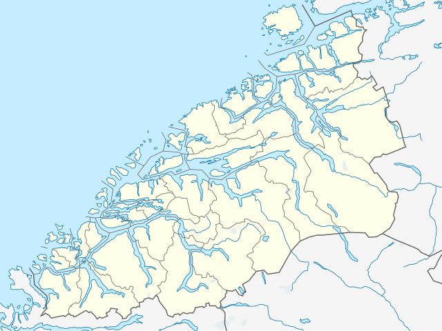
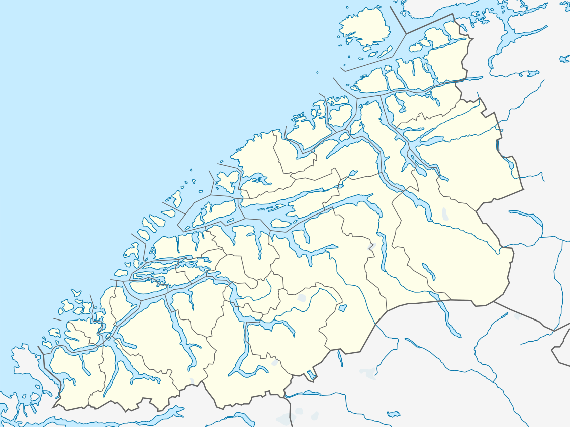
Quadratische Plattkarte, N-S-Streckung 220 %. Geographische Begrenzung der Karte:
Equirectangular projection, N/S stretching 220 %. Geographic limits of the map:
|
|
| Date | ||
| Source |
Own work, using
|
|
| Author | NordNordWest | |
| Permission (Reusing this file) |
This file is licensed under the Creative Commons Attribution-Share Alike 3.0 Germany license.
 This file is licensed under the Creative Commons Attribution-Share Alike 3.0 Unported license.
|


|
This map has been made or improved in the German Kartenwerkstatt (Map Lab). You can propose maps to improve as well.
|
File history
Click on a date/time to view the file as it appeared at that time.
| Date/Time | Thumbnail | Dimensions | User | Comment | |
|---|---|---|---|---|---|
| current | 18:28, 18 March 2019 | | 1,134 × 850 (199 KB) | NordNordWest (talk | contribs) | upd 2019 |
| 20:05, 1 October 2012 |  | 1,134 × 850 (211 KB) | Jon Harald Søby (talk | contribs) | adding border between Surnadal and Rindal | |
| 20:15, 30 July 2011 |  | 1,134 × 850 (203 KB) | NordNordWest (talk | contribs) | =={{int:filedesc}}== {{Information |Description= {{de|Positionskarte von Møre og Romsdal, Norwegen}} Quadratische Plattkarte, N-S-Streckung 220 %. Geographische Begrenzung der Karte: * N: 63.5° N * S: 61.9° N * |
You cannot overwrite this file.
File usage on Commons
The following page uses this file:
File usage on other wikis
The following other wikis use this file:
- Usage on ar.wikipedia.org
- Usage on ba.wikipedia.org
- Usage on bg.wikipedia.org
- Usage on ceb.wikipedia.org
- Usage on cs.wikipedia.org
- Usage on da.wikipedia.org
- Slogen
- Hjørundfjorden
- Brattvåg
- Trollveggen
- Trolltinderne
- Romsdalshorn
- Kvernesfjorden
- Kolåstinden
- Hornindalsrokken
- Skårasalen
- Ulsteinvik
- Skabelon:Kortpositioner Norge Møre og Romsdal
- Døntefossen
- Grodås
- Hessa
- Ertvågsøen
- Vinjefjorden (Nordmøre)
- Batnfjordsøra
- Sjøholt
- Surnadalsfjorden
- Stigfossen
- Trollfossen
- Bolgvatnet
- Storvatnet (Tingvoll)
- Vanylvsfjorden
- Årvågfjorden
- Edøyfjorden
- Foldfjorden
- Breifjorden
- Hamnesfjorden
- Stangvikfjorden
- Ålvundfjorden
- Korsnesfjorden
- Arasvikfjorden
- Freifjorden
View more global usage of this file.