File:Norton Barracks, now converted to apartments.jpg
Jump to navigation
Jump to search

Size of this preview: 800 × 600 pixels. Other resolutions: 320 × 240 pixels | 640 × 480 pixels | 1,024 × 768 pixels | 1,280 × 960 pixels | 1,600 × 1,200 pixels.
Original file (1,600 × 1,200 pixels, file size: 554 KB, MIME type: image/jpeg)
Captions
Captions
Add a one-line explanation of what this file represents
| Description |
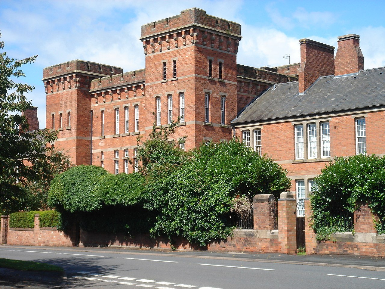
English: Norton Barracks, now converted to apartments |
||
| Date | |||
| Source | https://www.geograph.org.uk/photo/2842414 | ||
| Author | https://www.geograph.org.uk/profile/76211 Peter Morgan | ||
| Permission (Reusing this file) |
This file is licensed under the Creative Commons Attribution-Share Alike 2.0 Generic license. Attribution: Peter Morgan
|
||
| Attribution (required by the license) | Peter Morgan / Norton Barracks - now converted to apartments / | ||

| Camera location | | View this and other nearby images on: OpenStreetMap |
|---|
_heading:270.00&language=en)
| Object location | | View this and other nearby images on: OpenStreetMap |
|---|
_heading:270.00&language=en)
File history
Click on a date/time to view the file as it appeared at that time.
| Date/Time | Thumbnail | Dimensions | User | Comment | |
|---|---|---|---|---|---|
| current | 22:52, 15 September 2017 | | 1,600 × 1,200 (554 KB) | Geograph Update Bot (talk | contribs) | Higher-resolution version from Geograph. |
| 20:29, 8 November 2014 |  | 640 × 480 (111 KB) | Dormskirk (talk | contribs) | {{Information |Description ={{en|1=Norton Barracks, now converted to apartments}} |Source =http://www.geograph.org.uk/photo/2842414 |Author =http://www.geograph.org.uk/profile/76211 Peter Morgan |Date =12 July 2009 |Permiss... |
You cannot overwrite this file.
File usage on Commons
There are no pages that use this file.
File usage on other wikis
The following other wikis use this file:
- Usage on en.wikipedia.org
- Usage on www.wikidata.org