File:Northisland NZ East-Coast-Main-Trunk.png
Jump to navigation
Jump to search
No higher resolution available.
Northisland_NZ_East-Coast-Main-Trunk.png (328 × 500 pixels, file size: 42 KB, MIME type: image/png)
Captions
Captions
Add a one-line explanation of what this file represents
Summary
[edit]
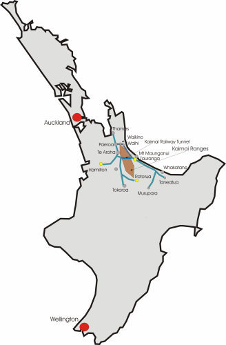
| Description | Map of North Island New Zealand, East Coast Main Trunk Line |
| Date | |
| Source | Own work |
| Author | Joerg Mueller |
| Permission (Reusing this file) |
public domain |
Licensing
[edit]
| I, the copyright holder of this work, release this work into the public domain. This applies worldwide. In some countries this may not be legally possible; if so: I grant anyone the right to use this work for any purpose, without any conditions, unless such conditions are required by law. |
File history
Click on a date/time to view the file as it appeared at that time.
| Date/Time | Thumbnail | Dimensions | User | Comment | |
|---|---|---|---|---|---|
| current | 21:54, 12 November 2006 | | 328 × 500 (42 KB) | Jörg Müller (talk | contribs) | {{Information |Description=Map of North Island New Zealand, East Coast Main Trunk Line |Source=own work |Date=2006-11-12 |Author=Joerg Mueller |Permission=public domain Category:Maps of New Zealand }} |
You cannot overwrite this file.
File usage on Commons
The following page uses this file:
File usage on other wikis
The following other wikis use this file:
- Usage on en.wikipedia.org
- Usage on www.wikidata.org