File:Northern entry to Tickhill.jpg
Jump to navigation
Jump to search

Size of this preview: 800 × 584 pixels. Other resolutions: 320 × 234 pixels | 640 × 467 pixels | 1,024 × 748 pixels | 1,280 × 934 pixels | 2,560 × 1,869 pixels | 5,000 × 3,650 pixels.
Original file (5,000 × 3,650 pixels, file size: 5.62 MB, MIME type: image/jpeg)
Captions
Captions
Add a one-line explanation of what this file represents
Summary
[edit]
| Description |
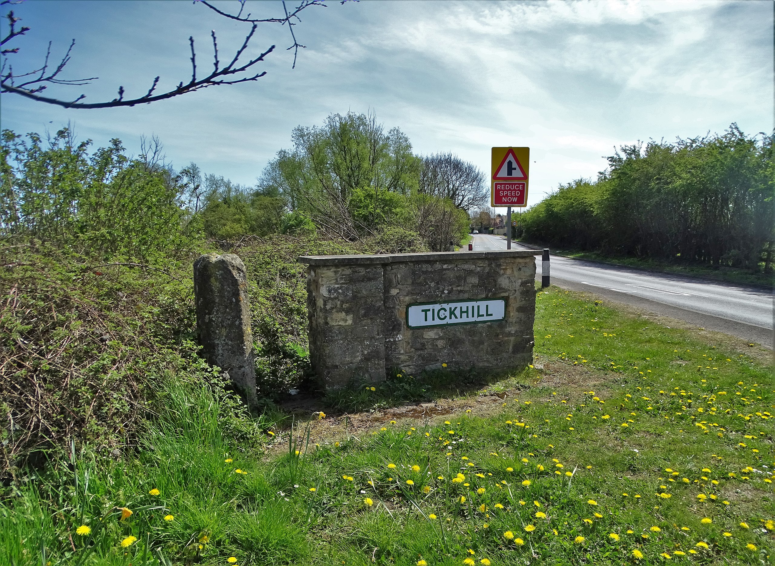
English: Northern entry to Tickhill. showing the former butter cross to the left of the sign, South Yorkshire, England |
| Date | |
| Source | https://www.geograph.org.uk/photo/6816403 |
| Author | Neil Theasby |
| Attribution (required by the license) | Neil Theasby / North of Tickhill / |
| Camera location | | View this and other nearby images on: OpenStreetMap |
|---|
Licensing
[edit]

|
This image was taken from the Geograph project collection. See this photograph's page on the Geograph website for the photographer's contact details. The copyright on this image is owned by Neil Theasby and is licensed for reuse under the Creative Commons Attribution-ShareAlike 2.0 license.
|
This file is licensed under the Creative Commons Attribution-Share Alike 2.0 Generic license.
Attribution: Neil Theasby
- You are free:
- to share – to copy, distribute and transmit the work
- to remix – to adapt the work
- Under the following conditions:
- attribution – You must give appropriate credit, provide a link to the license, and indicate if changes were made. You may do so in any reasonable manner, but not in any way that suggests the licensor endorses you or your use.
- share alike – If you remix, transform, or build upon the material, you must distribute your contributions under the same or compatible license as the original.
File history
Click on a date/time to view the file as it appeared at that time.
| Date/Time | Thumbnail | Dimensions | User | Comment | |
|---|---|---|---|---|---|
| current | 14:53, 5 December 2021 | | 5,000 × 3,650 (5.62 MB) | Geograph Update Bot (talk | contribs) | Higher-resolution version from Geograph |
| 10:25, 5 December 2021 |  | 1,024 × 748 (347 KB) | Peter I. Vardy (talk | contribs) | Uploaded a work by Neil Theasby from https://www.geograph.org.uk/photo/6816403 with UploadWizard |
You cannot overwrite this file.
File usage on Commons
There are no pages that use this file.
File usage on other wikis
The following other wikis use this file:
- Usage on en.wikipedia.org