File:Northern VA-DC 1864.png
Jump to navigation
Jump to search

Size of this preview: 800 × 443 pixels. Other resolutions: 320 × 177 pixels | 640 × 354 pixels | 1,024 × 567 pixels | 1,698 × 940 pixels.
Original file (1,698 × 940 pixels, file size: 2.63 MB, MIME type: image/png)
Captions
Captions
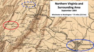
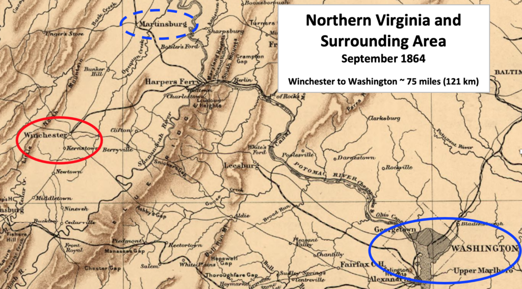
Northern Virginia, Maryland, and Washington DC in 1864
Summary
[edit]
| Description |
English: This American Civil War map shows the proximity of Winchester, Virginia, which was occupied by Confederate troops in 1864, to the United States capital in Washington, DC. |
| Date | |
| Source | This is a portion of a 1912 map created by Sifton, Praed & Co. that has been modified by TwoScarsUp. The entire map can be found in the Library of Congress map, and shows Virginia and Maryland. |
| Author | Sifton, Praed & Company, Ltd. modified by TwoScarsUp |
Licensing
[edit]
This work is in the public domain in the United States because it was published (or registered with the U.S. Copyright Office) before January 1, 1929.
Public domain works must be out of copyright in both the United States and in the source country of the work in order to be hosted on the Commons. If the work is not a U.S. work, the file must have an additional copyright tag indicating the copyright status in the source country.
Note: This tag should not be used for sound recordings. |
File history
Click on a date/time to view the file as it appeared at that time.
| Date/Time | Thumbnail | Dimensions | User | Comment | |
|---|---|---|---|---|---|
| current | 16:45, 17 November 2020 | | 1,698 × 940 (2.63 MB) | TwoScarsUp (talk | contribs) | Uploaded a work by Sifton, Praed & Company, Ltd. modified by TwoScarsUp from This is a portion of a 1912 map created by Sifton, Praed & Co. that has been modified by TwoScarsUp. The entire map can be found in the Library of Congress [https://www.loc.gov/item/99448878/ map], and shows Virginia and Maryland. with UploadWizard |
You cannot overwrite this file.
File usage on Commons
There are no pages that use this file.