File:Northern Italy ESA344113.jpg
Original file (1,920 × 1,948 pixels, file size: 7.33 MB, MIME type: image/jpeg)
Captions
Captions
Summary
[edit]| Description |
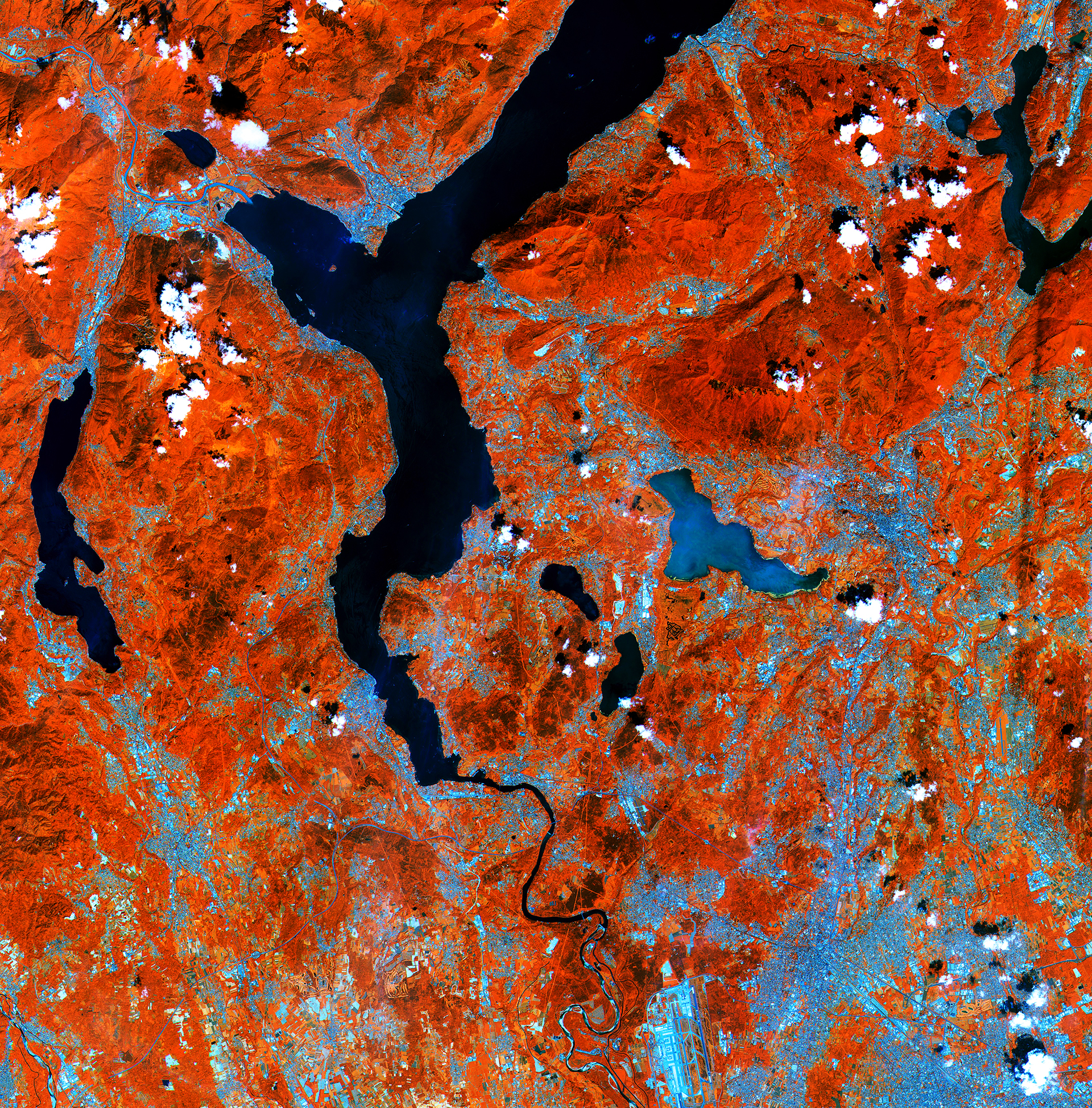
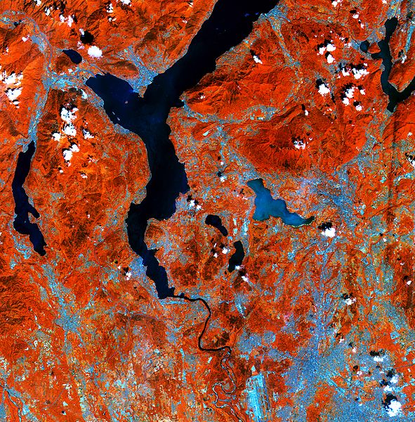
English: Lakes on the southern side of the Italian Alps are pictured in this early acquisition by the Sentinel-2A satellite.
Processed using the high-resolution infrared channel of the satellite’s multispectral camera, the image shows healthy vegetation in red, such as the hills and mountains in the upper part of the image. From the top of the image we see the southern part of Lake Maggiore. Straddling the border of Italy’s Lombardy and Piedmont regions – with its northern end in Switzerland (not visible) – the lake covers an area of over 210 sq km. Its outlet, the Ticino river, snakes south past Milan–Malpensa Airport at the bottom of the image. Near the centre of the image is the glacial Lake Varese, appearing lighter blue compared to the other lakes in the image. This demonstrates Sentinel-2’s ability to measure differences in the conditions of inland water bodies – one of the mission’s main applications along with land cover, agriculture and forestry. This image, also featured on theEarth from Space video programme, is a subset of Sentinel-2’s very first acquisition on 27 June 2015, just four days after launch. The satellite is in its commissioning phase, which includes calibrating its multispectral imager. But the initial images from its first scan of Earth foreshadow the mission’s land-monitoring applications in areas such as agriculture, the monitoring of inland and coastal waters and land-cover mapping. |
| Date | |
| Source | http://www.esa.int/spaceinimages/Images/2015/07/Northern_Italy |
| Author | European Space Agency |
| Permission (Reusing this file) |
Copernicus Sentinel data (2015)/ESA,CC BY-SA 3.0 IGO |
| Other versions |
|
| Title | Northern Italy |
| Set | Earth observation image of the week |
| System | Copernicus |
| Mission | Sentinel-2 |
| Location | Alps |
| Activity | Observing the Earth |
| Keywords | Lakes; Satellite image |

Licensing
[edit]
- You are free:
- to share – to copy, distribute and transmit the work
- to remix – to adapt the work
- Under the following conditions:
- attribution – You must give appropriate credit, provide a link to the license, and indicate if changes were made. You may do so in any reasonable manner, but not in any way that suggests the licensor endorses you or your use.
- share alike – If you remix, transform, or build upon the material, you must distribute your contributions under the same or compatible license as the original.

|
This image contains data from a satellite in the Copernicus Programme, such as Sentinel-1, Sentinel-2 or Sentinel-3. Attribution is required when using this image.
Attribution: Contains modified Copernicus Sentinel data {{{year}}}
The use of Copernicus Sentinel Data is regulated under EU law (Commission Delegated Regulation (EU) No 1159/2013 and Regulation (EU) No 377/2014). Relevant excerpts:
Free access shall be given to GMES dedicated data [...] made available through GMES dissemination platforms [...].
Access to GMES dedicated data [...] shall be given for the purpose of the following use in so far as it is lawful:
GMES dedicated data [...] may be used worldwide without limitations in time.
GMES dedicated data and GMES service information are provided to users without any express or implied warranty, including as regards quality and suitability for any purpose. |
File history
Click on a date/time to view the file as it appeared at that time.
| Date/Time | Thumbnail | Dimensions | User | Comment | |
|---|---|---|---|---|---|
| current | 01:10, 8 May 2017 | | 1,920 × 1,948 (7.33 MB) | Fæ (talk | contribs) | European Space Agency, Id 344113, http://www.esa.int/spaceinimages/Images/2015/07/Northern_Italy, User:Fæ/Project_list/ESA |
You cannot overwrite this file.
File usage on Commons
The following page uses this file: