File:North from Etchilhampton Hill trigpoint - geograph.org.uk - 901273.jpg
Jump to navigation
Jump to search
Size of this preview: 800 × 533 pixels. Other resolutions: 320 × 213 pixels | 640 × 427 pixels | 1,024 × 683 pixels | 1,280 × 853 pixels | 2,560 × 1,707 pixels | 3,888 × 2,592 pixels.
Original file (3,888 × 2,592 pixels, file size: 5 MB, MIME type: image/jpeg)
Captions
Captions
Add a one-line explanation of what this file represents
Summary
[edit]
| Description |
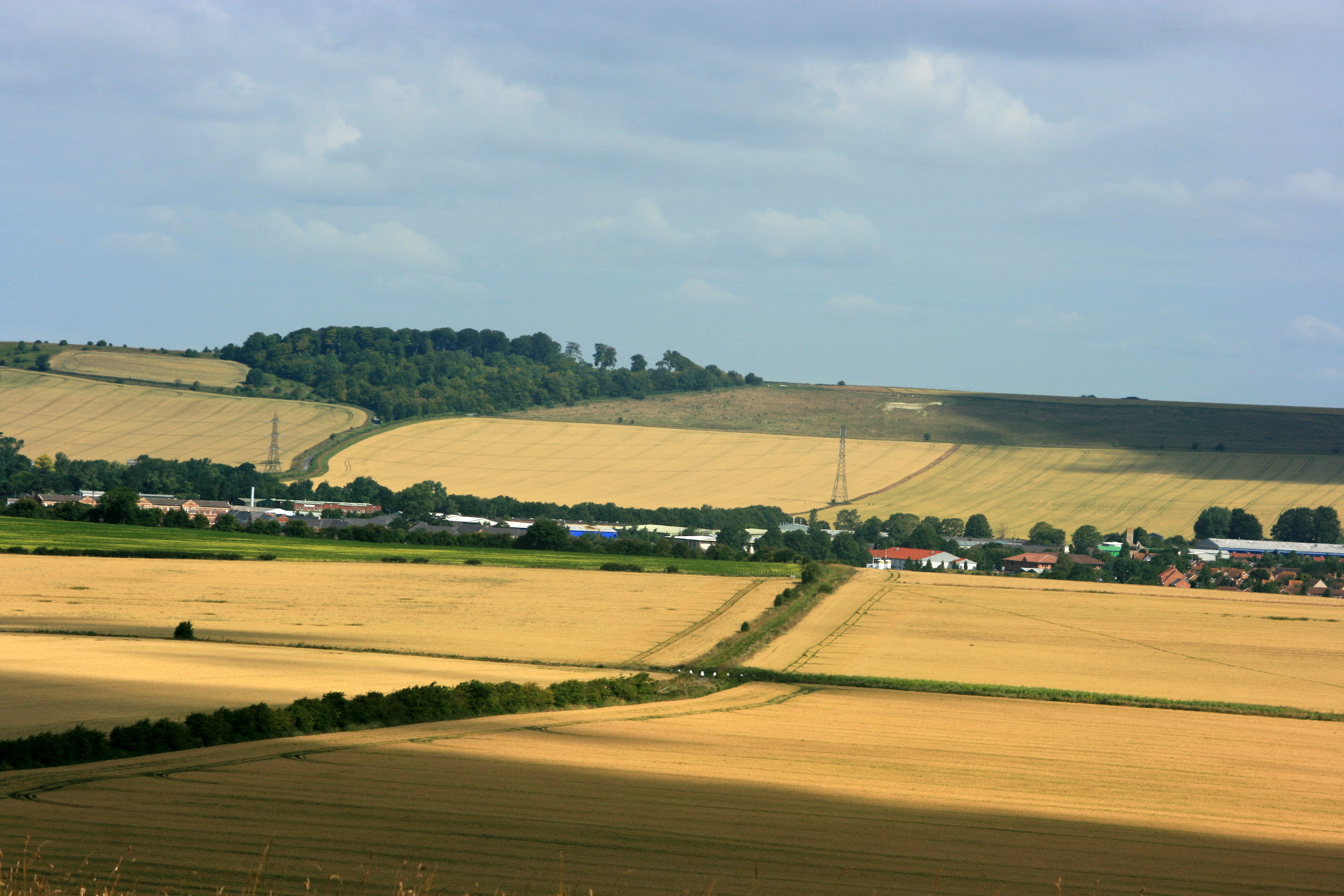
English: North from Etchilhampton Hill trigpoint The field boundary from bottom left going diagonally across the frame follows the line of the Wessex Ridgeway and points accusingly at the Devizes White Horse on the side of Roundway Hill. Though if Devizes can't look after it better than that they don't deserve to have one. OS Explorer 157 calls it a pit (disused) and it looks like one.
Devizes Marina is to the far right and serves the Kennet & Avon Canal. |
| Date | |
| Source | From geograph.org.uk |
| Author | Maurice Pullin |
| Camera location | | View this and other nearby images on: OpenStreetMap |
|---|
_heading:337.00&language=en)
| Object location | | View this and other nearby images on: OpenStreetMap |
|---|
_heading:337.00&language=en)
Licensing
[edit]

|
This image was taken from the Geograph project collection. See this photograph's page on the Geograph website for the photographer's contact details. The copyright on this image is owned by Maurice Pullin and is licensed for reuse under the Creative Commons Attribution-ShareAlike 2.0 license.
|
This file is licensed under the Creative Commons Attribution-Share Alike 2.0 Generic license.
Attribution: Maurice Pullin
- You are free:
- to share – to copy, distribute and transmit the work
- to remix – to adapt the work
- Under the following conditions:
- attribution – You must give appropriate credit, provide a link to the license, and indicate if changes were made. You may do so in any reasonable manner, but not in any way that suggests the licensor endorses you or your use.
- share alike – If you remix, transform, or build upon the material, you must distribute your contributions under the same or compatible license as the original.
File history
Click on a date/time to view the file as it appeared at that time.
| Date/Time | Thumbnail | Dimensions | User | Comment | |
|---|---|---|---|---|---|
| current | 22:22, 31 August 2017 | | 3,888 × 2,592 (5 MB) | Geograph Update Bot (talk | contribs) | Higher-resolution version from Geograph. |
| 20:10, 21 February 2011 |  | 640 × 427 (52 KB) | GeographBot (talk | contribs) | == {{int:filedesc}} == {{Information |description={{en|1=North from Etchilhampton Hill trigpoint The field boundary from bottom left going diagonally across the frame follows the line of the Wessex Ridgeway and points accusingly at the Devizes White Horse |
You cannot overwrite this file.
File usage on Commons
The following page uses this file: