File:Nigeria Sahrawi Arab Democratic Republic Locator.svg
Jump to navigation
Jump to search

Size of this PNG preview of this SVG file: 235 × 235 pixels. Other resolutions: 240 × 240 pixels | 480 × 480 pixels | 768 × 768 pixels | 1,024 × 1,024 pixels | 2,048 × 2,048 pixels.
Original file (SVG file, nominally 235 × 235 pixels, file size: 1.41 MB)
Captions
Captions
Add a one-line explanation of what this file represents
Summary
[edit]
| Description |
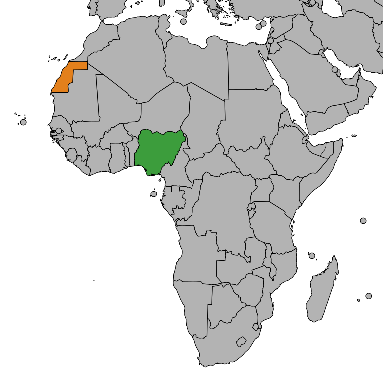
English: Location of Nigeria and Sahrawi Arab Democratic Republic (SADR) |
| Date | |
| Source | Own work |
| Author | Jan CZ |
Licensing
[edit]
| This map is ineligible for copyright and therefore in the public domain, because it consists entirely of information that is common property and contains no original authorship. For more information, see Commons:Threshold of originality § Maps.
|
File history
Click on a date/time to view the file as it appeared at that time.
| Date/Time | Thumbnail | Dimensions | User | Comment | |
|---|---|---|---|---|---|
| current | 10:16, 29 June 2024 | | 235 × 235 (1.41 MB) | Kashmiri (talk | contribs) | Reverted to version as of 06:37, 11 March 2021 (UTC) |
| 10:21, 2 October 2023 |  | 235 × 235 (1.42 MB) | Caawiyahaderon (talk | contribs) | https://www.thehindu.com/news/international/pro-somalia-militia-takes-key-army-base-in-breakaway-region/article67238670.ece | |
| 06:37, 11 March 2021 |  | 235 × 235 (1.41 MB) | Christian Ferrer (talk | contribs) | Reverted to version as of 03:35, 11 March 2021 (UTC) | |
| 04:26, 11 March 2021 |  | 2,000 × 2,000 (572 KB) | Al.Massira (talk | contribs) | Reverted to version as of 21:40, 10 March 2021 (UTC) This is Nigeria Sahrawi Arab Democratic Republic Locator not Western Sahara Locator | |
| 03:35, 11 March 2021 |  | 235 × 235 (1.41 MB) | Koavf (talk | contribs) | Reverted to version as of 21:34, 10 March 2021 (UTC) | |
| 21:40, 10 March 2021 |  | 2,000 × 2,000 (572 KB) | Al.Massira (talk | contribs) | Reverted to version as of 20:38, 10 March 2021 (UTC) Western Sahara is recognised by the UN as a disputed territory, not any country. Unjustified revert, putting back map showing territories controlled by RASD | |
| 21:34, 10 March 2021 |  | 235 × 235 (1.41 MB) | M.Bitton (talk | contribs) | Reverted to version as of 21:20, 9 December 2017 (UTC): Per COM:OVERWRITE | |
| 20:38, 10 March 2021 |  | 2,000 × 2,000 (572 KB) | Al.Massira (talk | contribs) | Polisario-controlled territories (RASD) | |
| 20:37, 10 March 2021 |  | 940 × 415 (1.67 MB) | Al.Massira (talk | contribs) | Reverted to version as of 19:14, 14 December 2012 (UTC) temporary revert to upload new file | |
| 21:20, 9 December 2017 |  | 235 × 235 (1.41 MB) | Jan CZ (talk | contribs) | update |
You cannot overwrite this file.
File usage on Commons
There are no pages that use this file.
File usage on other wikis
The following other wikis use this file:
- Usage on en.wikipedia.org
- Usage on es.wikipedia.org