File:Nielisz (gmina) location map.png

Original file (2,264 × 1,752 pixels, file size: 504 KB, MIME type: image/png)
Captions
Captions
Summary
[edit]_location_map.png&action=edit§ion=1)
| Description |
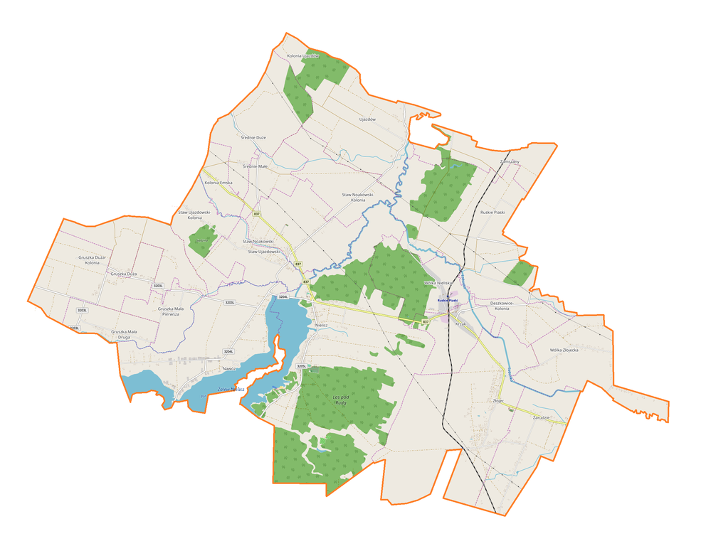
English: Location map |
| Date | |
| Source | Own work |
| Author | Smat |
| Description |
Polski: Mapa gminy Nielisz, Polska
English: Map of Nielisz (gmina), Poland |
|||||||||
| Date | ||||||||||
| Source | You may find a page on the OpenStreetMap wiki page for Nielisz (gmina) | |||||||||
| Creator |
OpenStreetMap contributors OpenStreetMap contributors |
|||||||||
| Permission (Reusing this file) |
OpenStreetMap data is available under the Open Database License (details). Map tiles are licensed under the Creative Commons Attribution-ShareAlike 2.0 license (CC-BY-SA 2.0).
This file is licensed under the Creative Commons Attribution-Share Alike 2.0 Generic license.
|
|||||||||
| Geotemporal data | ||||||||||
| Bounding box |
|
|||||||||
| Georeferencing | If inappropriate please set warp_status = skip to hide. | |||||||||
Licensing
[edit]_location_map.png&action=edit§ion=2)
| This work contains information from OpenStreetMap, which is made available under the Open Database License (ODbL).
The ODbL does not require any particular license for maps produced from ODbL data. Prior to 1 August 2020, map tiles produced by the OpenStreetMap Foundation were licensed under the CC-BY-SA-2.0 license. Maps produced by other people may be subject to other licences. |
File history
Click on a date/time to view the file as it appeared at that time.
| Date/Time | Thumbnail | Dimensions | User | Comment | |
|---|---|---|---|---|---|
| current | 08:55, 17 October 2017 | | 2,264 × 1,752 (504 KB) | Smat (talk | contribs) | User created page with UploadWizard |
You cannot overwrite this file.
File usage on Commons
There are no pages that use this file.
File usage on other wikis
The following other wikis use this file:
- Usage on pl.wikipedia.org
- Nielisz
- Nielisz (gmina)
- Deszkowice-Kolonia
- Gruszka Duża
- Gruszka Duża-Kolonia
- Gruszka Mała Druga
- Gruszka Mała Pierwsza
- Kolonia Emska
- Krzak (województwo lubelskie)
- Ruskie Piaski
- Nawóz (województwo lubelskie)
- Staw Noakowski
- Staw Noakowski-Kolonia
- Staw Ujazdowski (wieś)
- Staw Ujazdowski-Kolonia
- Średnie Duże
- Średnie Małe
- Wólka Nieliska
- Wólka Złojecka
- Zamszany
- Zarudzie (województwo lubelskie)
- Złojec
- Ujazdów (powiat zamojski)
- Gościniec (Nawóz)
- Grobla (Nawóz)
- Las (Nielisz)
- Niwa (Nawóz)
- Poprzeczka
- Parafia św. Wojciecha i Matki Bożej Różańcowej w Nieliszu
- Krzak (stacja kolejowa)
- Złojec (przystanek kolejowy)
- Parafia Chrystusa Króla w Złojcu
- Parafia św. Jana Chrzciciela w Stawie Noakowskim
- Gaciska
- Hubertówka (Nielisz)
- Kaczórki (Nielisz)
- Lipnik (Nielisz)
- Majdanek (Nielisz)
- Nowiny (Nielisz)
- Folwark (Zarudzie)
- Kolonia (Zarudzie)
- Stara Wieś (Zarudzie)
- Za Torem (Zarudzie)
- Bór (Nawóz)
- Stara Wieś (Nawóz)
- Nowy Staw (Staw Noakowski)
- Stara Wieś (Staw Noakowski)
- Kolonia (Wólka Złojecka)
- Polesie (Wólka Złojecka)
- Stara Wieś (Wólka Złojecka)
View more global usage of this file.
_location_map.png)
_location_map.png&oldid=708057202)