File:Nicholas County WV map, 1920.jpg
Jump to navigation
Jump to search

Size of this preview: 800 × 554 pixels. Other resolutions: 320 × 222 pixels | 640 × 443 pixels | 1,024 × 709 pixels | 1,280 × 887 pixels | 2,560 × 1,773 pixels | 15,438 × 10,694 pixels.
Original file (15,438 × 10,694 pixels, file size: 96.15 MB, MIME type: image/jpeg)
Captions
Captions
Add a one-line explanation of what this file represents
Summary
[edit]
| Warning | The original file is very high-resolution. It might not load properly or could cause your browser to freeze when opened at full size. |
|---|
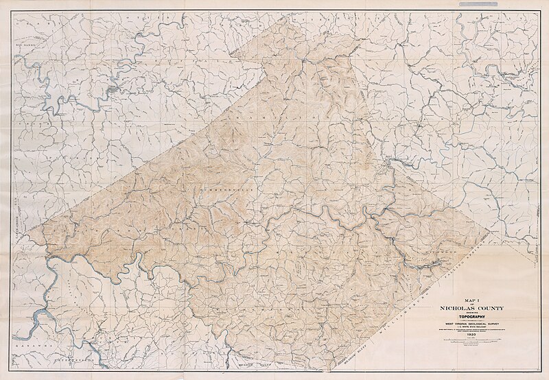
| Title |
MAP I OF NICHOLAS COUNTY SHOWING TOPOGRAPHY |
|||||||||
| Description |
Base map from US Geological survey sheets surveyed in cooperation with West Virginia Geological Survey |
|||||||||
| Date | ||||||||||
| Source | https://ngmdb.usgs.gov/Prodesc/proddesc_10517.htm | |||||||||
| Creator |
Reger, D.B., Price, W.A., Tucker, R.C., and Sisler, J.D. |
|||||||||
| Permission (Reusing this file) |
|
|||||||||
| Geotemporal data | ||||||||||
| Scale | 1:62,500 | |||||||||
| Bounding box |
|
|||||||||
| Georeferencing | ||||||||||
| Place of publication | LITHO A HOEN & CO BALTD MD | |||||||||
| Archival data | ||||||||||
| Collection | USGS | |||||||||
| Notes | County Geologic Report CGR-19 | |||||||||
File history
Click on a date/time to view the file as it appeared at that time.
| Date/Time | Thumbnail | Dimensions | User | Comment | |
|---|---|---|---|---|---|
| current | 14:01, 19 April 2023 | | 15,438 × 10,694 (96.15 MB) | Scewing (talk | contribs) | == {{int:filedesc}} == {{LargeImage}} {{Map |title =MAP I OF NICHOLAS COUNTY SHOWING TOPOGRAPHY |description =Base map from US Geological survey sheets surveyed in cooperation with West Virginia Geological Survey |author =Reger, D.B., Price, W.A., Tucker, R.C., and Sisler, J.D. |date =1920 |source =https://ngmdb.usgs.gov/Prodesc/proddesc_10517.htm |permission ={{PD-USGov-USGS}} |scale =1:62,500 |latitude=38.5830/3... |
You cannot overwrite this file.
File usage on Commons
There are no pages that use this file.