File:Như Xuân district location map.svg
Jump to navigation
Jump to search

Size of this PNG preview of this SVG file: 565 × 600 pixels. Other resolutions: 226 × 240 pixels | 452 × 480 pixels | 723 × 768 pixels | 964 × 1,024 pixels | 1,929 × 2,048 pixels | 1,930 × 2,049 pixels.
Original file (SVG file, nominally 1,930 × 2,049 pixels, file size: 177 KB)
Captions
Captions
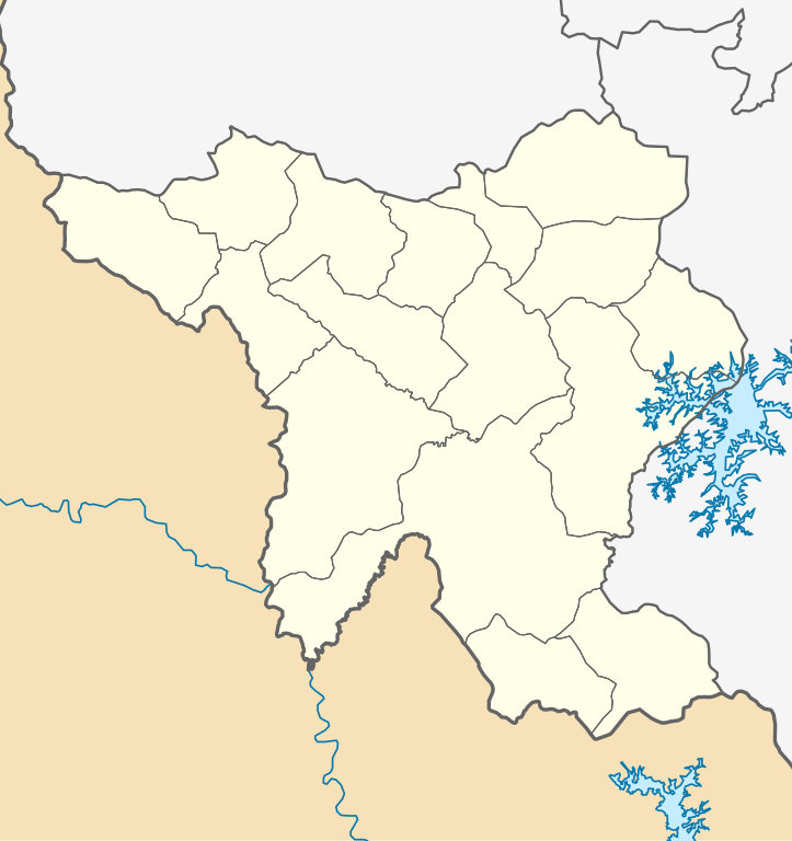
Location map of Như Xuân district
Summary
[edit]
| Description |
Tiếng Việt: Bản đồ định vị huyện Như Xuân, tỉnh Thanh Hóa. Giới hạn địa lý:
English: Location map of Như Xuân district, Thanh Hóa province. Geographic limits of the map:
|
| Date | |
| Source | Own work |
| Author | Bùi Lê Việt Cường |
Licensing
[edit]
I, the copyright holder of this work, hereby publish it under the following license:
This file is licensed under the Creative Commons Attribution-Share Alike 4.0 International license.
- You are free:
- to share – to copy, distribute and transmit the work
- to remix – to adapt the work
- Under the following conditions:
- attribution – You must give appropriate credit, provide a link to the license, and indicate if changes were made. You may do so in any reasonable manner, but not in any way that suggests the licensor endorses you or your use.
- share alike – If you remix, transform, or build upon the material, you must distribute your contributions under the same or compatible license as the original.
File history
Click on a date/time to view the file as it appeared at that time.
| Date/Time | Thumbnail | Dimensions | User | Comment | |
|---|---|---|---|---|---|
| current | 05:43, 10 September 2023 | | 1,930 × 2,049 (177 KB) | Bùi Lê Việt Cường (talk | contribs) | Uploaded own work with UploadWizard |
You cannot overwrite this file.
File usage on Commons
The following 16 pages use this file:
- File:Bãi Trành in Như Xuân district.svg
- File:Bình Lương in Như Xuân district.svg
- File:Cát Tân in Như Xuân district.svg
- File:Cát Vân in Như Xuân district.svg
- File:Hóa Quỳ in Như Xuân district.svg
- File:Thanh Hòa in Như Xuân district.svg
- File:Thanh Lâm in Như Xuân district.svg
- File:Thanh Phong in Như Xuân district.svg
- File:Thanh Quân in Như Xuân district.svg
- File:Thanh Sơn in Như Xuân district.svg
- File:Thanh Xuân in Như Xuân district.svg
- File:Thượng Ninh in Như Xuân district.svg
- File:Tân Bình in Như Xuân district.svg
- File:Xuân Bình in Như Xuân district.svg
- File:Xuân Hòa in Như Xuân district.svg
- File:Yên Cát in Như Xuân district.svg
File usage on other wikis
The following other wikis use this file:
- Usage on vi.wikipedia.org
- Như Xuân
- Bản mẫu:Đơn vị hành chính thuộc huyện Như Xuân
- Bãi Trành
- Yên Cát
- Thanh Lâm, Như Xuân
- Thượng Ninh
- Cát Tân, Như Xuân
- Cát Vân
- Hóa Quỳ
- Tân Bình, Như Xuân
- Thanh Hòa, Như Xuân
- Thanh Phong, Như Xuân
- Thanh Quân
- Thanh Sơn, Như Xuân
- Thanh Xuân, Như Xuân
- Xuân Bình, Như Xuân
- Xuân Hòa, Như Xuân
- Bình Lương (xã)
- Mô đun:Location map/data/Việt Nam Thanh Hóa Như Xuân
- Mô đun:Location map/data/Việt Nam Thanh Hóa Như Xuân/tài liệu
- Mô đun:Location map/data/Như Xuân