File:Nga Son map.jpg
Jump to navigation
Jump to search
Size of this preview: 734 × 600 pixels. Other resolutions: 294 × 240 pixels | 587 × 480 pixels | 870 × 711 pixels.
Original file (870 × 711 pixels, file size: 132 KB, MIME type: image/jpeg)
Captions
Captions
Add a one-line explanation of what this file represents
Summary
[edit]
| Description |
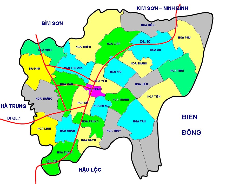
Tiếng Việt: Bản đồ hành chính huyện Nga Sơn |
| Date | |
| Source | Tự vẽ lại theo http://gis.chinhphu.vn |
| Author | Mai Trung Dũng (thảo luận) |
Licensing
[edit]
| I, the copyright holder of this work, release this work into the public domain. This applies worldwide. In some countries this may not be legally possible; if so: I grant anyone the right to use this work for any purpose, without any conditions, unless such conditions are required by law. |
File history
Click on a date/time to view the file as it appeared at that time.
| Date/Time | Thumbnail | Dimensions | User | Comment | |
|---|---|---|---|---|---|
| current | 09:30, 15 April 2008 | | 870 × 711 (132 KB) | Mai Trung Dung (talk | contribs) | {{Thông tin |Miêu tả = Bản đồ hành chính huyện Nga Sơn |Nguồn = Tự vẽ lại theo http://gis.chinhphu.vn |Ngày = 15/4/2008 |Tác giả = ~~~ |Phiên bản khác = }} |
You cannot overwrite this file.
File usage on Commons
There are no pages that use this file.