File:New York State Route 153 map.svg
Jump to navigation
Jump to search

Size of this PNG preview of this SVG file: 580 × 344 pixels. Other resolutions: 320 × 190 pixels | 640 × 380 pixels | 1,024 × 607 pixels | 1,280 × 759 pixels | 2,560 × 1,518 pixels.
Original file (SVG file, nominally 580 × 344 pixels, file size: 81 KB)
Captions
Captions
Add a one-line explanation of what this file represents
Summary
[edit]
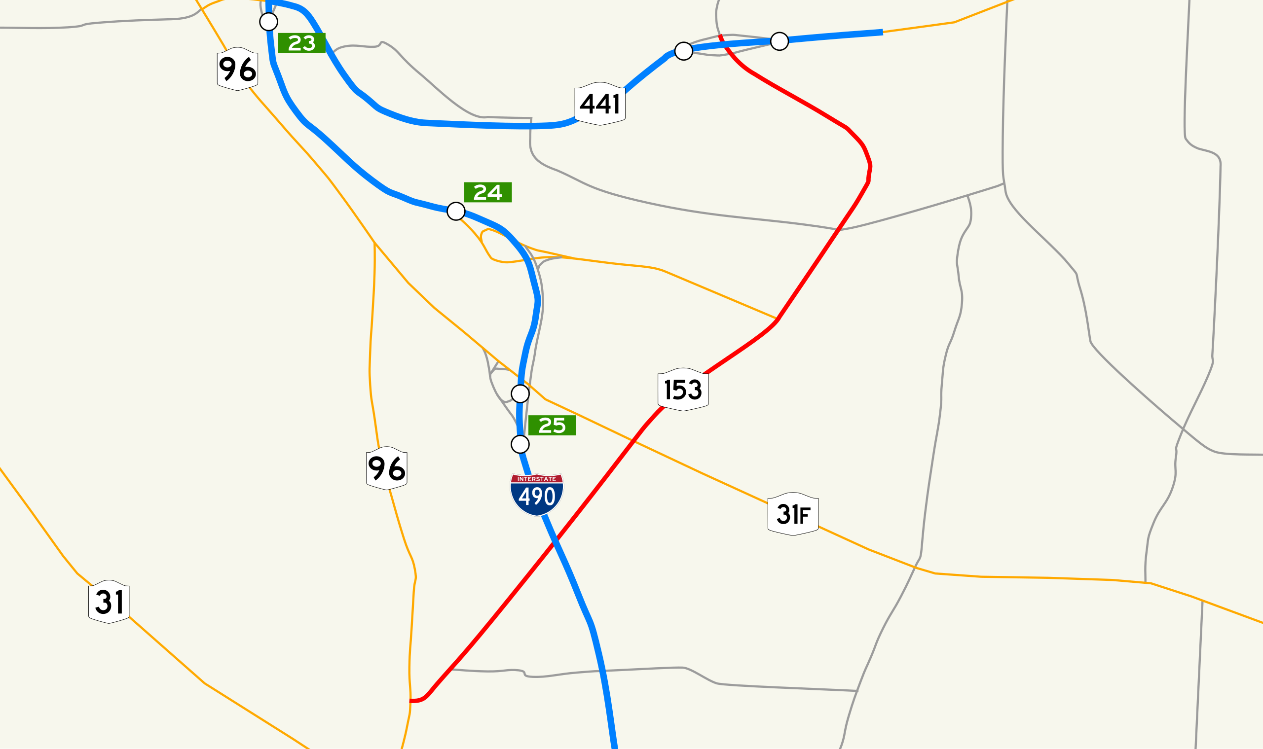
| Description | New York State Route 153 map. Created by myself in Inkscape. |
| Date | |
| Source | Own work |
| Author | TwinsMetsFan |
| Permission (Reusing this file) |
Public domain |
Licensing
[edit]
| I, the copyright holder of this work, release this work into the public domain. This applies worldwide. In some countries this may not be legally possible; if so: I grant anyone the right to use this work for any purpose, without any conditions, unless such conditions are required by law. |
File history
Click on a date/time to view the file as it appeared at that time.
| Date/Time | Thumbnail | Dimensions | User | Comment | |
|---|---|---|---|---|---|
| current | 16:53, 23 September 2006 | | 580 × 344 (81 KB) | TwinsMetsFan (talk | contribs) | redid map per new standards at the Maps Task Force |
| 01:33, 3 September 2006 |  | 580 × 344 (81 KB) | TwinsMetsFan (talk | contribs) | forgot the 490 shield... | |
| 01:19, 3 September 2006 |  | 580 × 344 (68 KB) | TwinsMetsFan (talk | contribs) | forgot to convert to path | |
| 01:08, 3 September 2006 |  | 580 × 344 (51 KB) | TwinsMetsFan (talk | contribs) | ==Summary== {{Information |Description=New York State Route 153 map. Created by myself in Inkscape. |Source=Own work |Date=September 2, 2006 |Author=TwinsMetsFan |Permission=Public domain }} ==Licensing== {{PD-self} |
You cannot overwrite this file.
File usage on Commons
There are no pages that use this file.
File usage on other wikis
The following other wikis use this file:
- Usage on en.wikipedia.org