File:New Iran locator.PNG
Jump to navigation
Jump to search
Size of this preview: 723 × 599 pixels. Other resolutions: 290 × 240 pixels | 579 × 480 pixels | 926 × 768 pixels | 1,024 × 849 pixels.
Original file (1,024 × 849 pixels, file size: 59 KB, MIME type: image/png)
Captions
Captions
Add a one-line explanation of what this file represents
Summary
[edit]
| Description |
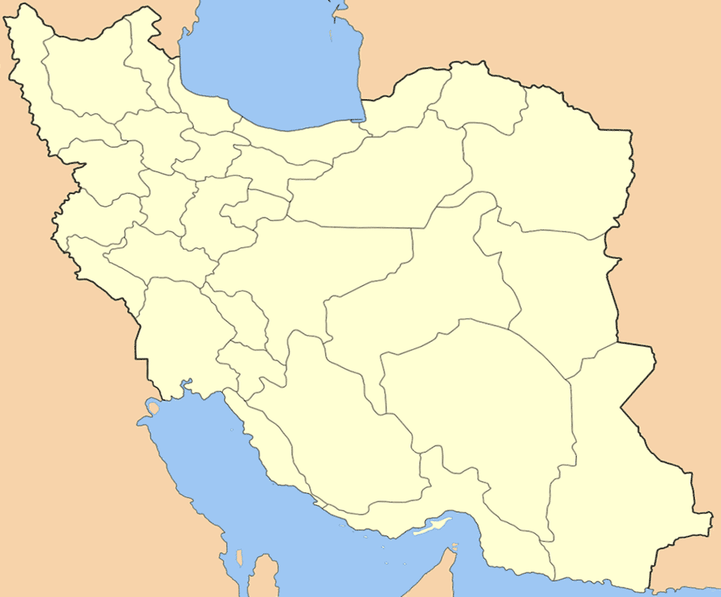
English: Map of Iran after correcting the South Khorasan Province Borders in Iran locator.png. (Ferdows County moved from Razavi Khorasan province to South Khorasan Province in March 2007) |
| Date | |
| Source | Iran locator.png |
| Author | User:Kaveh with changes by M samadi |
| Other versions | Derivative works of this file: Fereydoon shahr.png |
Licensing
[edit]
I, the copyright holder of this work, hereby publish it under the following licenses:

|
Permission is granted to copy, distribute and/or modify this document under the terms of the GNU Free Documentation License, Version 1.2 or any later version published by the Free Software Foundation; with no Invariant Sections, no Front-Cover Texts, and no Back-Cover Texts. A copy of the license is included in the section entitled GNU Free Documentation License. |
| This file is licensed under the Creative Commons Attribution-Share Alike 3.0 Unported license. | ||
| ||
| This licensing tag was added to this file as part of the GFDL licensing update. |
This file is licensed under the Creative Commons Attribution-Share Alike 2.5 Generic license.
- You are free:
- to share – to copy, distribute and transmit the work
- to remix – to adapt the work
- Under the following conditions:
- attribution – You must give appropriate credit, provide a link to the license, and indicate if changes were made. You may do so in any reasonable manner, but not in any way that suggests the licensor endorses you or your use.
- share alike – If you remix, transform, or build upon the material, you must distribute your contributions under the same or compatible license as the original.
You may select the license of your choice.
File history
Click on a date/time to view the file as it appeared at that time.
| Date/Time | Thumbnail | Dimensions | User | Comment | |
|---|---|---|---|---|---|
| current | 16:29, 29 November 2007 | | 1,024 × 849 (59 KB) | M samadi (talk | contribs) | {{Information |Description=Map of Iran after correcting the en:South Khorasan Province Borders in Image:Iran locator.png. (en:Ferdows County moved from en:Razavi Khorasan province to en:South Khorasan Province in March 2007) |Sourc |
You cannot overwrite this file.
File usage on Commons
The following page uses this file:
File usage on other wikis
The following other wikis use this file:
- Usage on als.wikipedia.org
- Usage on ar.wikipedia.org
- Usage on arz.wikipedia.org
- Usage on de.wikipedia.org
- Usage on pnb.wikipedia.org
- Usage on ro.wikipedia.org