File:Nederland kart.png
Jump to navigation
Jump to search
No higher resolution available.
Nederland_kart.png (330 × 355 pixels, file size: 9 KB, MIME type: image/png)
Captions
Captions
Add a one-line explanation of what this file represents
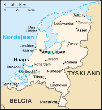
| Description | Nederland |
| Source | CIA World Factbook |
| Author | CIA |
| Other versions |
Derivative works of this file: Nederland kart-10-10-10.png Dutch English |
This image is in the public domain because it contains materials that originally came from the United States Central Intelligence Agency's World Factbook.
|
 |
File history
Click on a date/time to view the file as it appeared at that time.
| Date/Time | Thumbnail | Dimensions | User | Comment | |
|---|---|---|---|---|---|
| current | 01:42, 16 May 2008 | | 330 × 355 (9 KB) | Kjetil r (talk | contribs) | {{Information |Description = Nederland |Source = CIA World Factbook |Date = |Author = CIA |Permission = |other_versions = Dutch English }} {{CIA-map}} [[Ca |
You cannot overwrite this file.
File usage on Commons
The following page uses this file: