File:Neath Port Talbot UK community map (blank).svg
Jump to navigation
Jump to search

Size of this PNG preview of this SVG file: 461 × 600 pixels. Other resolutions: 184 × 240 pixels | 369 × 480 pixels | 590 × 768 pixels | 787 × 1,024 pixels | 1,574 × 2,048 pixels | 973 × 1,266 pixels.
Original file (SVG file, nominally 973 × 1,266 pixels, file size: 576 KB)
Captions
Captions
Add a one-line explanation of what this file represents
| Description |
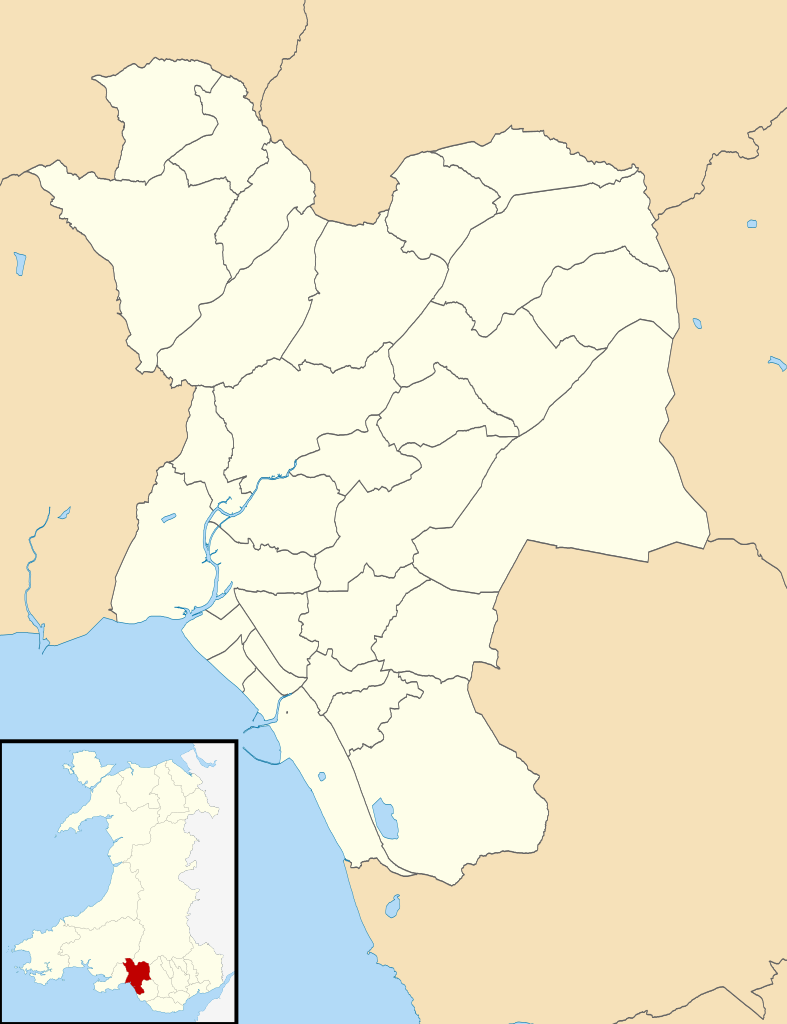
Blank map of Neath Port Talbot, UK with communities shown. Equirectangular map projection on WGS 84 datum, with N/S stretched 160% Geographic limits:
|
| Date | |
| Source |
|
| Author | Nilfanion, created using Ordnance Survey data |
| Permission (Reusing this file) |
This file is licensed under the Creative Commons Attribution-Share Alike 3.0 Unported license. Attribution: Contains Ordnance Survey data © Crown copyright and database right
|
File history
Click on a date/time to view the file as it appeared at that time.
| Date/Time | Thumbnail | Dimensions | User | Comment | |
|---|---|---|---|---|---|
| current | 18:09, 16 October 2010 | | 973 × 1,266 (576 KB) | Nilfanion (talk | contribs) | {{Information |Description=Blank map of Neath Port Talbot, UK with communities shown. Equirectangular map projection on WGS 84 datum, with N/S stretched 160% Geographic limits: *West: 3.95W *East: 3.52W *North: 51.83N *South: 51. |
You cannot overwrite this file.
File usage on Commons
The following 34 pages use this file:
- User:Nilfanion/Maps/Counties
- User:Nilfanion/Maps/Wales
- File:2010 Wales Neath Port Talbot Community Aberavon map.svg
- File:2010 Wales Neath Port Talbot Community Baglan Bay map.svg
- File:2010 Wales Neath Port Talbot Community Baglan map.svg
- File:2010 Wales Neath Port Talbot Community Blaengwrach map.svg
- File:2010 Wales Neath Port Talbot Community Blaenhonddan map.svg
- File:2010 Wales Neath Port Talbot Community Briton Ferry map.svg
- File:2010 Wales Neath Port Talbot Community Bryn map.svg
- File:2010 Wales Neath Port Talbot Community Cilybebyll map.svg
- File:2010 Wales Neath Port Talbot Community Clyne and Melincourt map.svg
- File:2010 Wales Neath Port Talbot Community Coedffranc map.svg
- File:2010 Wales Neath Port Talbot Community Crynant map.svg
- File:2010 Wales Neath Port Talbot Community Cwmavon map.svg
- File:2010 Wales Neath Port Talbot Community Cwmllynfell map.svg
- File:2010 Wales Neath Port Talbot Community Dyffryn Clydach map.svg
- File:2010 Wales Neath Port Talbot Community Glyncorrwg map.svg
- File:2010 Wales Neath Port Talbot Community Glynneath map.svg
- File:2010 Wales Neath Port Talbot Community Gwaun-Cae-Gurwen map.svg
- File:2010 Wales Neath Port Talbot Community Margam Moors map.svg
- File:2010 Wales Neath Port Talbot Community Margam map.svg
- File:2010 Wales Neath Port Talbot Community Neath map.svg
- File:2010 Wales Neath Port Talbot Community Onllwyn map.svg
- File:2010 Wales Neath Port Talbot Community Pelenna map.svg
- File:2010 Wales Neath Port Talbot Community Pontardawe map.svg
- File:2010 Wales Neath Port Talbot Community Port Talbot map.svg
- File:2010 Wales Neath Port Talbot Community Resolven map.svg
- File:2010 Wales Neath Port Talbot Community Sandfields East map.svg
- File:2010 Wales Neath Port Talbot Community Sandfields West map.svg
- File:2010 Wales Neath Port Talbot Community Seven Sisters map.svg
- File:2010 Wales Neath Port Talbot Community Tai-Bach map.svg
- File:2010 Wales Neath Port Talbot Community Tonna map.svg
- File:2010 Wales Neath Port Talbot Community Ystalyfera map.svg
- File:2024 Wales Neath Port Talbot Community map.svg
File usage on other wikis
The following other wikis use this file:
- Usage on en.wikipedia.org
.svg&oldid=506704164)