File:Near Lower Astley Wood - geograph.org.uk - 1490181.jpg
Jump to navigation
Jump to search
No higher resolution available.
Near_Lower_Astley_Wood_-_geograph.org.uk_-_1490181.jpg (640 × 480 pixels, file size: 105 KB, MIME type: image/jpeg)
Captions
Captions
Add a one-line explanation of what this file represents
Summary
[edit]
| Description |
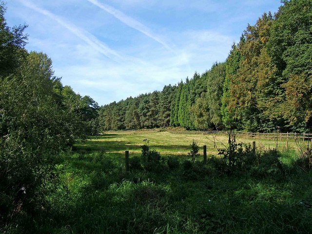
English: Near Lower Astley Wood After leaving Shrawley Wood by the footbridge over the Dick Brook, this open grassed area is on the left. On the right is part of Lower Astley Wood. There is a fence just in front of the wood and behind this runs a public bridleway. This also forms part of the recently opened long distance path known as The Geopark Way. |
| Date | |
| Source | From geograph.org.uk |
| Author | P L Chadwick |
| Attribution (required by the license) | P L Chadwick / Near Lower Astley Wood / |
| Camera location | | View this and other nearby images on: OpenStreetMap |
|---|
_heading:315.00&language=en)
| Object location | | View this and other nearby images on: OpenStreetMap |
|---|
_heading:315.00&language=en)
Licensing
[edit]

|
This image was taken from the Geograph project collection. See this photograph's page on the Geograph website for the photographer's contact details. The copyright on this image is owned by P L Chadwick and is licensed for reuse under the Creative Commons Attribution-ShareAlike 2.0 license.
|
This file is licensed under the Creative Commons Attribution-Share Alike 2.0 Generic license.
Attribution: P L Chadwick
- You are free:
- to share – to copy, distribute and transmit the work
- to remix – to adapt the work
- Under the following conditions:
- attribution – You must give appropriate credit, provide a link to the license, and indicate if changes were made. You may do so in any reasonable manner, but not in any way that suggests the licensor endorses you or your use.
- share alike – If you remix, transform, or build upon the material, you must distribute your contributions under the same or compatible license as the original.
File history
Click on a date/time to view the file as it appeared at that time.
| Date/Time | Thumbnail | Dimensions | User | Comment | |
|---|---|---|---|---|---|
| current | 17:49, 2 March 2011 | | 640 × 480 (105 KB) | GeographBot (talk | contribs) | == {{int:filedesc}} == {{Information |description={{en|1=Near Lower Astley Wood After leaving Shrawley Wood by the footbridge over the Dick Brook, this open grassed area is on the left. On the right is part of Lower Astley Wood. There is a fence just in f |
You cannot overwrite this file.
File usage on Commons
There are no pages that use this file.