File:National flag of Iran-Qom City-Photo by mustafa meraji 09.jpg
Jump to navigation
Jump to search

Size of this preview: 800 × 600 pixels. Other resolutions: 320 × 240 pixels | 640 × 480 pixels | 1,024 × 768 pixels | 1,280 × 960 pixels | 2,560 × 1,920 pixels | 3,000 × 2,250 pixels.
Original file (3,000 × 2,250 pixels, file size: 2.63 MB, MIME type: image/jpeg)
Captions
Captions
Add a one-line explanation of what this file represents
Summary
[edit]
| Description |
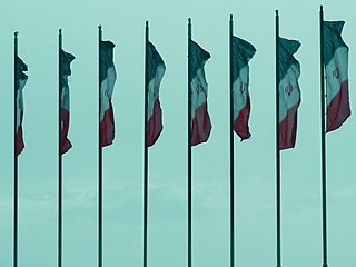
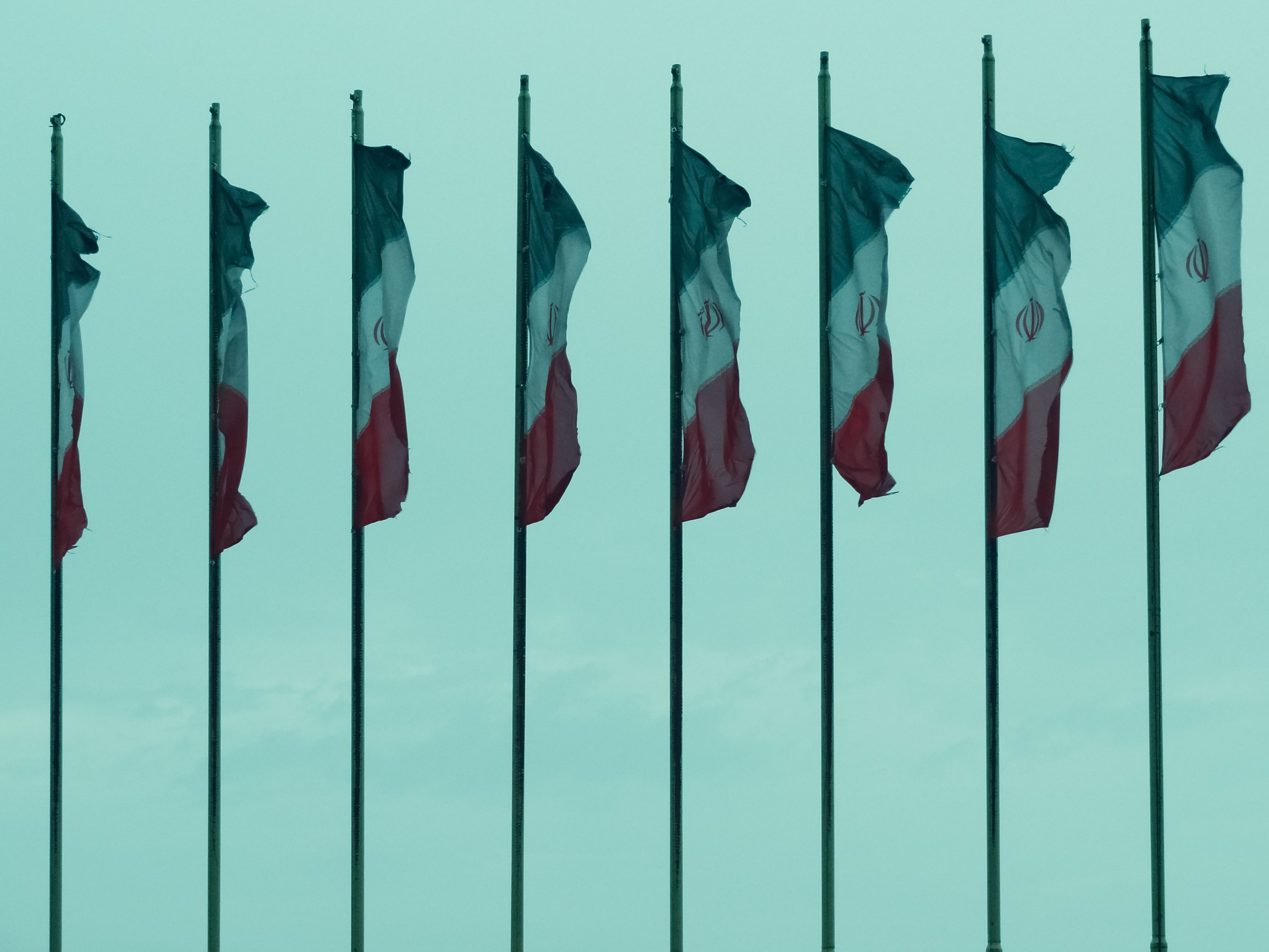
فارسی: پرچم ایران پرچمی سهرنگ است که دارای سه نوار هماندازهٔ افقی سبز و سفید و سرخ میباشد. نشان جمهوری اسلامی ایران به رنگ سرخ در میانهٔ نوار سفید قرار دارد. همچنین ۲۲ «الله اکبر» به رنگ سفید و به نشانهٔ پیروزی انقلاب در روز ۲۲ بهمن در حاشیهٔ پایین رنگ سبز و حاشیهٔ بالای رنگ سرخ جای گرفتهاند.
English: The national flag of the Islamic Republic of Iran, also known as the Three-Coloured Flag, is a tricolour comprising equal horizontal bands of green, white and red with the national emblem ("Allah") in red centred on the white band and the takbir written 11 times each in the Kufic script in white, at the bottom of the green and the top of the red band.
Deutsch: Die Flagge Irans oder Flagge des Iran ist in ihrer jetzigen Form seit dem 29. Juli 1980 gültig und spiegelt die Veränderungen wider, die Iran seit der Islamischen Revolution durchlief.
中文:伊朗國旗啟用於1980年7月29日,是一面三色旗,由綠(伊斯蘭)、白(和平)、紅(勇氣)三條橫幅組成。中間為紅色國徽。在三條色條之間,書有「真主至大」各11次,共22次,即伊朗曆11月22日、伊朗伊斯蘭革命的日子(1979年2月11日)。
Русский: Государственный флаг Исламской Республики Иран — официальный государственный символ Исламской Республики Иран; один из главных государственных символов Ирана, наряду с Государственной эмблемой Исламской Республики Иран и Государственным гимном Исламской Республики Иран. Утверждён Главой ИРИ 29 июля 1980 года.
ქართული: ირანის დროშა – ირანის ერთ-ერთი სახელმწიფო სიმბოლო (გერბთან და ჰიმნთან ერთად). მისი ამჟამინდელი ვარიანტი მოქმედებს 1980 წლის 29 ივლისიდან, ირანის 1979 წლის რევოლუციის შემდეგ.
Italiano: La bandiera dell'Iran, nella sua versione attuale, venne adottata il 29 luglio 1980, come riflesso dei cambiamenti portati nel Paese dalla rivoluzione islamica del 1979. La forma base della bandiera è composta da tre bande orizzontali di uguali dimensioni.
Español: La actual bandera de la República Islámica de Irán fue adoptada el 29 de julio de 1980 y es uno de los reflejos de la Revolución iraní en este país.
हिन्दी: ईरान का ध्वज ईरान का राष्ट्रीय ध्वज है।
Português: A bandeira atual do Irã foi adotada em 29 de julho de 1980, logo após a Revolução Islâmica. |
| Date | |
| Source | Own work |
| Author | Mostafameraji |
| Camera location | | View this and other nearby images on: OpenStreetMap |
|---|
Licensing
[edit]
I, the copyright holder of this work, hereby publish it under the following license:
| This file is made available under the Creative Commons CC0 1.0 Universal Public Domain Dedication. | |
| The person who associated a work with this deed has dedicated the work to the public domain by waiving all of their rights to the work worldwide under copyright law, including all related and neighboring rights, to the extent allowed by law. You can copy, modify, distribute and perform the work, even for commercial purposes, all without asking permission.
|
File history
Click on a date/time to view the file as it appeared at that time.
| Date/Time | Thumbnail | Dimensions | User | Comment | |
|---|---|---|---|---|---|
| current | 13:59, 30 November 2022 | | 3,000 × 2,250 (2.63 MB) | Mostafameraji (talk | contribs) | Uploaded own work with UploadWizard |
You cannot overwrite this file.
File usage on Commons
There are no pages that use this file.