File:NationalPark2ParkHwyAT.svg
Jump to navigation
Jump to search

Size of this PNG preview of this SVG file: 263 × 364 pixels. Other resolutions: 173 × 240 pixels | 347 × 480 pixels | 555 × 768 pixels | 740 × 1,024 pixels | 1,480 × 2,048 pixels.
Original file (SVG file, nominally 263 × 364 pixels, file size: 6 KB)
Captions
Captions
Add a one-line explanation of what this file represents
Summary
[edit]
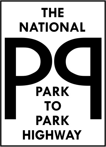
Route marker for the National Park to Park Highway, a national auto trail from the early 20th century. Created in Adobe Illustrator CS from an illustration in a reproduced Rand McNally road map published in 1924.
Licensing
[edit]

|
Permission is granted to copy, distribute and/or modify this document under the terms of the GNU Free Documentation License, Version 1.2 or any later version published by the Free Software Foundation; with no Invariant Sections, no Front-Cover Texts, and no Back-Cover Texts. A copy of the license is included in the section entitled GNU Free Documentation License. |
| This file is licensed under the Creative Commons Attribution-Share Alike 3.0 Unported license. | ||
| ||
| This licensing tag was added to this file as part of the GFDL licensing update. |
File history
Click on a date/time to view the file as it appeared at that time.
| Date/Time | Thumbnail | Dimensions | User | Comment | |
|---|---|---|---|---|---|
| current | 01:17, 3 April 2006 | | 263 × 364 (6 KB) | PHenry (talk | contribs) | Route marker for the w:National Park to Park Highway, a national auto trail from the early 20th century. Created in Adobe Illustrator CS from an illustration in a reproduced Rand McNally road map published in 1924. |
You cannot overwrite this file.
File usage on Commons
The following page uses this file:
File usage on other wikis
The following other wikis use this file:
- Usage on en.wikipedia.org