File:Nantucket Shoals NOAA chart 12300.gif
Jump to navigation
Jump to search
Size of this preview: 612 × 599 pixels. Other resolutions: 245 × 240 pixels | 490 × 480 pixels | 762 × 746 pixels.
Original file (762 × 746 pixels, file size: 46 KB, MIME type: image/gif)
Captions
Captions
Add a one-line explanation of what this file represents
Summary
[edit]
| Description |
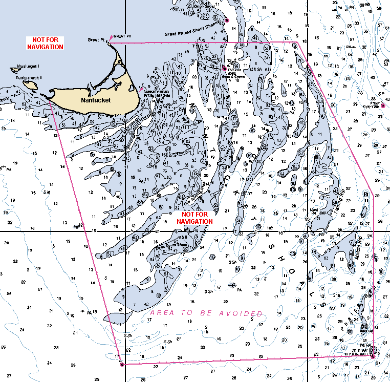
English: Detail of NOAA chart 12300 showing area of Nantucket Shoals. Edited by Diiscool for use on Commons. |
|||
| Date | ||||
| Source | http://nauticalcharts.noaa.gov | |||
| Author | National Oceanic and Atmospheric Administration / Diiscool (talk) 22:31, 18 April 2010 (UTC) | |||
| Permission (Reusing this file) |
|
Licensing
[edit]
This image is in the public domain because it contains materials that originally came from the U.S. National Oceanic and Atmospheric Administration, taken or made as part of an employee's official duties.
|
File history
Click on a date/time to view the file as it appeared at that time.
| Date/Time | Thumbnail | Dimensions | User | Comment | |
|---|---|---|---|---|---|
| current | 22:31, 18 April 2010 | | 762 × 746 (46 KB) | Diiscool (talk | contribs) | {{Information |Description={{en|1=Detail of NOAA chart 12300 showing area of Nantucket Shoals. Edited by Diiscool for use on Commons.}} |Source=http://nauticalcharts.noaa.gov |Author=[[National Oceanic and |
You cannot overwrite this file.
File usage on Commons
The following page uses this file:
File usage on other wikis
The following other wikis use this file:
- Usage on en.wikipedia.org
- Usage on fr.wikipedia.org
- Usage on it.wikipedia.org
- Usage on www.wikidata.org