File:Namutoni, Namibia - panoramio (1).jpg
Jump to navigation
Jump to search

Size of this preview: 800 × 456 pixels. Other resolutions: 320 × 182 pixels | 640 × 365 pixels | 1,024 × 583 pixels | 1,550 × 883 pixels.
Original file (1,550 × 883 pixels, file size: 695 KB, MIME type: image/jpeg)
Captions
Captions
Add a one-line explanation of what this file represents
Summary
[edit].jpg&action=edit§ion=1)
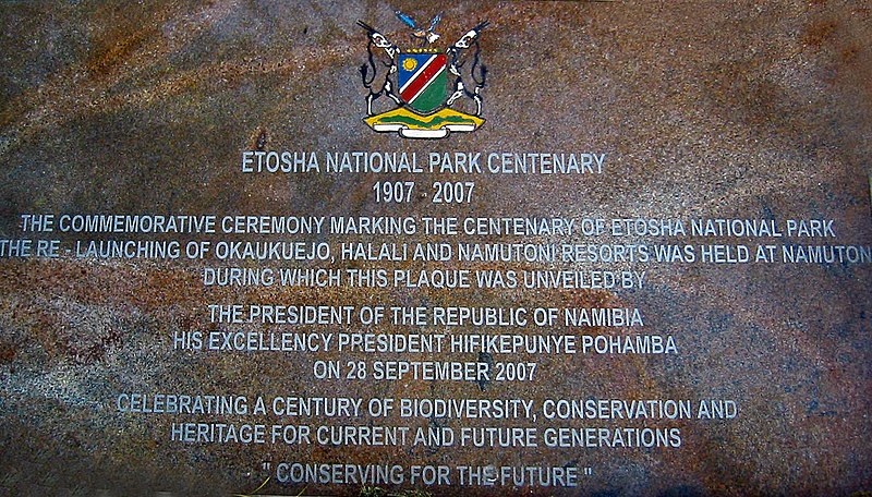
| Description | Namutoni, Namibia | ||
| Date | Taken on 26 July 2009 | ||
| Source | https://web.archive.org/web/20161016220251/http://www.panoramio.com/photo/44287582 | ||
| Author | mroszewski | ||
| Permission (Reusing this file) |
This file is licensed under the Creative Commons Attribution-Share Alike 3.0 Unported license. Attribution: mroszewski
|
||
| Tags (from Panoramio photo page) | Namutoni |
| Camera location | | View this and other nearby images on: OpenStreetMap |
|---|
.jpg¶ms=-18.809136_N_0016.940907_E_globe:Earth_type:camera_source:Panoramio_&language=en)
File history
Click on a date/time to view the file as it appeared at that time.
| Date/Time | Thumbnail | Dimensions | User | Comment | |
|---|---|---|---|---|---|
| current | 13:28, 13 December 2016 | | 1,550 × 883 (695 KB) | Ji-Elle (talk | contribs) | redressé, recadré, contrasté |
| 13:41, 19 November 2016 |  | 1,600 × 1,200 (367 KB) | Panoramio upload bot (talk | contribs) | == {{int:filedesc}} == {{Information |description=Namutoni, Namibia |date={{Taken on|2009-07-26}} |source=http://www.panoramio.com/photo/44287582 |author=[http://www.panoramio.com/user/4982015?with_photo_id=44287582 mroszewski] |permission={{cc-by-sa-3... |
You cannot overwrite this file.
File usage on Commons
There are no pages that use this file.
File usage on other wikis
The following other wikis use this file:
- Usage on fr.wikipedia.org
.jpg&oldid=817045813)