File:NY-52.svg
Jump to navigation
Jump to search

Size of this PNG preview of this SVG file: 600 × 600 pixels. Other resolutions: 240 × 240 pixels | 480 × 480 pixels | 768 × 768 pixels | 1,024 × 1,024 pixels | 2,048 × 2,048 pixels.
Original file (SVG file, nominally 600 × 600 pixels, file size: 6 KB)
Captions
Captions
Add a one-line explanation of what this file represents
Summary
[edit]
| Description |
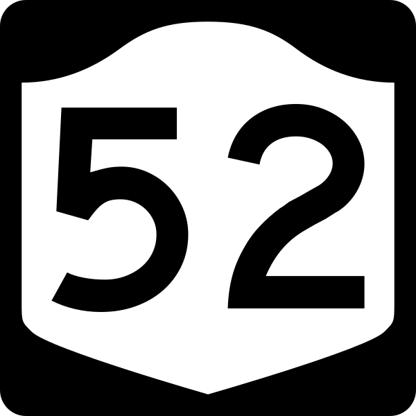
English: Diagram of a 600 mm by 600 mm (24 in by 24 in) route marker for New York State Route 52, made to the specifications of the Manual on Uniform Traffic Control Devices (MUTCD), 2009 Edition (sign M1-5; p. 143) and the 2010 New York state supplement to the MUTCD (signs NYM3-1, NYM3-2, and NYM3-3; pp. 73, 256). Uses the Roadgeek 2005 fonts. (United States law does not permit the copyrighting of typeface designs, and the fonts are meant to be copies of a U.S. Government-produced work anyway.) |
| Date | |
| Source | Own work |
| Author | TwinsMetsFan |
| Permission (Reusing this file) |
Public Domain |
Licensing
[edit]
This file is in the public domain because it comes from the New York State Supplement to the Manual on Uniform Traffic Control Devices, sign number NYM3-1. The NYS Supplement states on page 11 that "effective September 13, 2007, the provisions of the MUTCD were formally adopted by the State of New York." The federal MUTCD states specifically on page I-1 that:
No provisions of the supplement supersede this provision of the MUTCD. |
File history
Click on a date/time to view the file as it appeared at that time.
| Date/Time | Thumbnail | Dimensions | User | Comment | |
|---|---|---|---|---|---|
| current | 14:32, 25 June 2009 | | 600 × 600 (6 KB) | TwinsMetsFan (talk | contribs) | new version based on the NY MUTCD supplement |
| 02:38, 10 October 2006 |  | 600 × 600 (8 KB) | TwinsMetsFan (talk | contribs) | {{Information |Description=600 mm by 600 mm (24 in by 24 in) New York shield, made to the specifications of the Manual on Uniform Traffic Control Devices (MUTCD), 2003 Edition (sign M1-5). Uses the Roadgeek 2005 fonts. (United States law does not permit t |
You cannot overwrite this file.
File usage on Commons
The following 3 pages use this file:
File usage on other wikis
The following other wikis use this file:
- Usage on ar.wikipedia.org
- Usage on de.wikipedia.org
- Usage on en.wikipedia.org
- Putnam County, New York
- Orange County, New York
- Sullivan County, New York
- Ulster County, New York
- New York State Route 17
- List of state routes in New York
- New York State Route 32
- Taconic State Parkway
- Newburgh–Beacon Bridge
- U.S. Route 9W
- Mid-Hudson Bridge
- New York State Route 97
- New York State Route 300
- List of crossings of the Delaware River
- New York State Route 301
- New York State Route 9D
- New York State Route 302
- New York State Route 52
- New York State Route 208
- New York State Route 55
- New York State Route 376
- New York State Route 42
- New York State Route 17B
- Newburgh–Beacon Ferry
- New York State Route 82
- New York State Route 216
- New York State Route 311
- User:Nyletak/New York Routes
- List of highways numbered 52
- U.S. Route 9 in New York
- List of crossings of the Hudson River
- Shawangunk Kill
- New York State Route 51
- U.S. Route 6 in New York
- Pennsylvania Route 652
- List of crossings of the Wallkill River
- Walden Veterans' Memorial Bridge
- List of crossings of the Neversink River
- User:NE2/NY 52
- Ward's Bridge
- Walden Low Bridge
- Interstate 84 in New York
- User:Daniel Case
- Narrowsburg–Darbytown Bridge
- Skinners Falls–Milanville Bridge
- County Route 149 (Sullivan County, New York)
View more global usage of this file.